Japekrom night lights from space
Night Light of Japekrom (Brong-Ahafo) from space (Ghana) Src. Average luminocity for 10x10km area is 2.8247% and for 50x50km: 1.2222%.
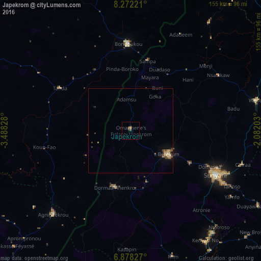
Analysis of Japekrom night lights 2016
Square area 10x10 km:
 0%
0%90-99
0%80-89
0%70-79
0.87%60-69
0.87%50-59
0.87%40-49
1.08%30-39
0.65%20-29
0.87%10-19
0.87%0-9
93.94%Square area 50x50 km:
0.02%90-99
0.08%80-89
0.23%70-79
0.31%60-69
0.18%50-59
0.18%40-49
0.32%30-39
0.18%20-29
0.17%10-19
0.59%0-9
97.76%Clear (daylight) street map image can be seen on geolist.org.
Map coordinates:
8° 16' 20" North, 3° 29' 17.8" West
7° 34' 32.9" North, 2° 47' 6.6" West
6° 52' 41.8" North, 2° 4' 55.3" West
Some cities around Japekrom sort by population:
• Sunyani
56.9 km =35.4 mi,  117°
117°
• Techiman
93.4 km =58 mi,  89°
89°
• Berekum
26 km =16.2 mi, 121°
• Bondoukou, CI
51.7 km =32.1 mi,  358°
358°
• Agnibilékrou, CI
67.7 km =42.1 mi,  223°
223°
• Wenchi
77.2 km =48 mi,  76°
76°
• Tanda, CI
49.2 km =30.6 mi,  300°
300°
• Duayaw-Nkwanta
87.8 km =54.6 mi, 120°
2300182 (p: 96,000)
Sources (retrieved 2019-11-25):
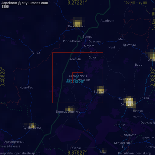
» NASA, Earths city lights 1995
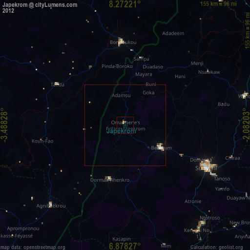
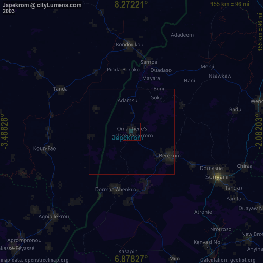
» NASA city lights 2003
» Earth at Night: Flat Maps 2012, 2016