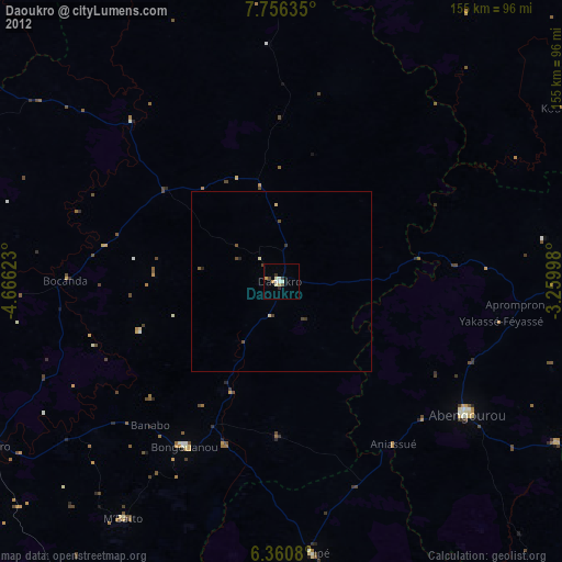
Daoukro night lights from space
Night Light of Daoukro (Lacs) from space (Ivory Coast) Src. Average luminocity for 10x10km area is 13.9286% and for 50x50km: 1.1133%.
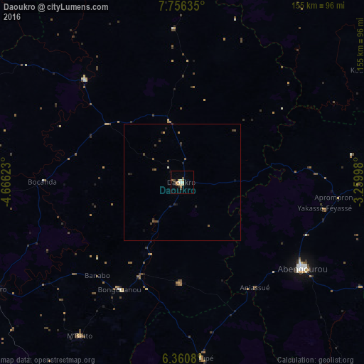
Analysis of Daoukro night lights 2016
Square area 10x10 km:
 1.08%
1.08%90-99
2.6%80-89
2.38%70-79
3.25%60-69
1.3%50-59
1.52%40-49
1.52%30-39
0.22%20-29
1.73%10-19
1.52%0-9
82.9%Square area 50x50 km:
0.04%90-99
0.14%80-89
0.1%70-79
0.16%60-69
0.1%50-59
0.21%40-49
0.32%30-39
0.2%20-29
0.24%10-19
0.33%0-9
98.16%Clear (daylight) street map image can be seen on geolist.org.
Map coordinates:
7° 45' 22.9" North, 4° 39' 58.4" West
7° 3' 32.8" North, 3° 57' 47.2" West
6° 21' 38.9" North, 3° 15' 35.9" West
Some cities around Daoukro sort by population:
• Abengourou
63.2 km =39.3 mi,  125°
125°
• Dimbokro
93.9 km =58.3 mi,  240°
240°
• Agnibilékrou
84.1 km =52.3 mi,  84°
84°
• Arrah
42.9 km =26.7 mi,  180°
180°
• Akoupé
75.5 km =46.9 mi,  173°
173°
• Bongouanou
52.5 km =32.6 mi,  210°
210°
• Affery
82.1 km =51 mi, 179°
• Bocanda
59.2 km =36.8 mi,  270°
270°
2290412 (p: 40,175)
Sources (retrieved 2019-11-25):
» Earth at Night: Flat Maps 2012, 2016