Guibéroua night lights from space
Night Light of Guibéroua (Gôh-Djiboua) from space (Ivory Coast) Src. Average luminocity for 10x10km area is 2.2013% and for 50x50km: 1.9849%.
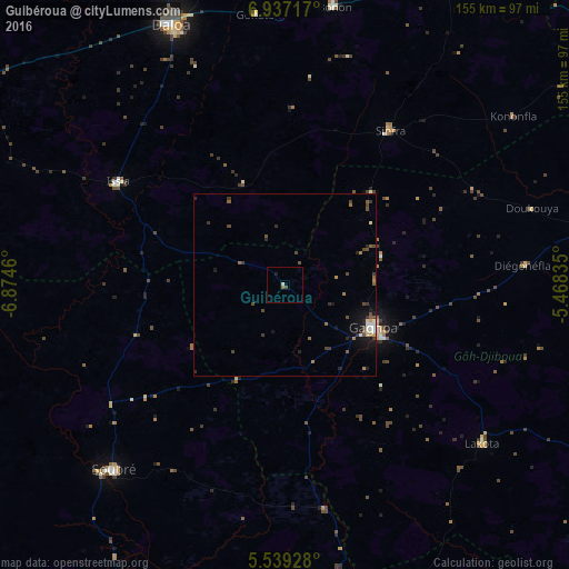
Analysis of Guibéroua night lights 2016
Square area 10x10 km:
 0%
0%90-99
0%80-89
0.87%70-79
0%60-69
0.43%50-59
0.43%40-49
0.87%30-39
0%20-29
0.65%10-19
0.22%0-9
96.54%Square area 50x50 km:
0.04%90-99
0.27%80-89
0.2%70-79
0.11%60-69
0.29%50-59
0.41%40-49
0.67%30-39
0.43%20-29
0.44%10-19
1.19%0-9
95.96%Clear (daylight) street map image can be seen on geolist.org.
Map coordinates:
6° 56' 13.8" North, 6° 52' 28.6" West
6° 14' 19.3" North, 6° 10' 17.3" West
5° 32' 21.4" North, 5° 28' 6.1" West
Some cities around Guibéroua sort by population:
• Daloa
77.4 km =48.1 mi,  336°
336°
• Divo
100.5 km =62.4 mi,  116°
116°
• Gagnoa
27.1 km =16.8 mi, 115°
• Bouaflé
96 km =59.7 mi,  29°
29°
• Sinfra
51.3 km =31.9 mi, 34°
• Oumé
84.8 km =52.7 mi,  79°
79°
• Issia
53.7 km =33.4 mi,  301°
301°
• Lakota
69.4 km =43.1 mi,  128°
128°
2287970 (p: 13,186)
Sources (retrieved 2019-11-25):
» Earth at Night: Flat Maps 2012, 2016