Yamoussoukro night lights from space
Night Light of Yamoussoukro (Lacs) from space (Ivory Coast) Src. Average luminocity for 10x10km area is 73.1212% and for 50x50km: 6.3987%.
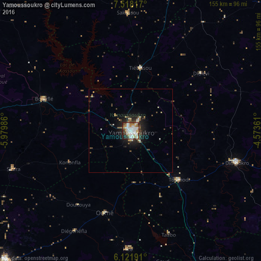
Analysis of Yamoussoukro night lights 2016
Square area 10x10 km:
 21.86%
90-99
23.81%80-89
6.49%70-79
10.61%60-69
4.33%50-59
7.14%40-49
8.23%30-39
5.41%20-29
8.44%10-19
3.68%0-9
0%Square area 50x50 km:
0.94%90-99
1.37%80-89
0.63%70-79
0.61%60-69
0.48%50-59
0.68%40-49
1.19%30-39
1.11%20-29
1.88%10-19
4.02%0-9
87.08%Clear (daylight) street map image can be seen on geolist.org.
Map coordinates:
7° 31' 5.4" North, 5° 58' 47.5" West
6° 49' 14" North, 5° 16' 36.3" West
6° 7' 18.9" North, 4° 34' 25" West
Some cities around Yamoussoukro sort by population:
• Dimbokro
66 km =41 mi,  107°
107°
• Bouaflé
54.9 km =34.1 mi,  290°
290°
• Sinfra
73.5 km =45.7 mi,  252°
252°
• Oumé
51.1 km =31.8 mi,  197°
197°
• Toumodi
40.9 km =25.4 mi,  135°
135°
• Béoumi
100.6 km =62.5 mi,  340°
340°
• Sakassou
70.5 km =43.8 mi,  358°
358°
• Bocanda
89.9 km =55.9 mi,  72°
72°
2279755 (p: 194,530)
Sources (retrieved 2019-11-25):
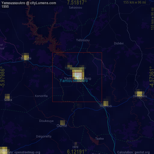
» NASA, Earths city lights 1995
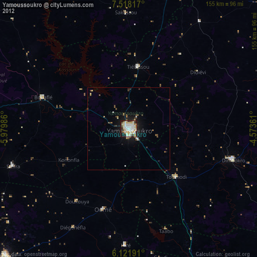
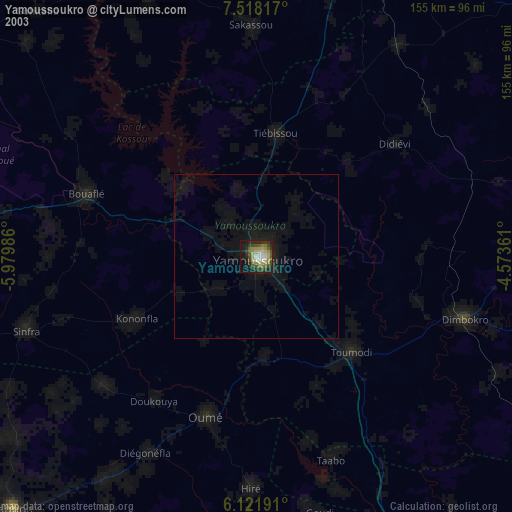
» NASA city lights 2003
» Earth at Night: Flat Maps 2012, 2016