Biankouma night lights from space
Night Light of Biankouma (Montagnes) from space (Ivory Coast) Src. Average luminocity for 10x10km area is 2.3988% and for 50x50km: 0.1274%.
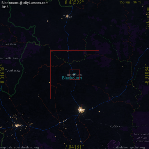
Analysis of Biankouma night lights 2016
Square area 10x10 km:
 0%
0%90-99
0.83%80-89
0%70-79
0%60-69
0%50-59
0.83%40-49
0.83%30-39
0.83%20-29
0.83%10-19
0.83%0-9
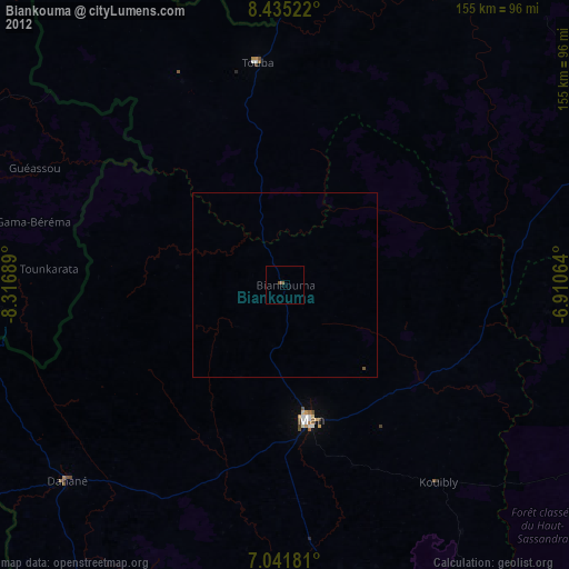
95.04%Square area 50x50 km:
0%90-99
0.03%80-89
0%70-79
0%60-69
0%50-59
0.07%40-49
0.03%30-39
0.03%20-29
0.07%10-19
0.03%0-9
99.73%Clear (daylight) street map image can be seen on geolist.org.
Map coordinates:
8° 26' 6.8" North, 8° 19' 0.8" West
7° 44' 20.7" North, 7° 36' 49.6" West
7° 2' 30.5" North, 6° 54' 38.3" West
Some cities around Biankouma sort by population:
• Man
36.9 km =22.9 mi,  169°
169°
• Danané
80 km =49.7 mi,  228°
228°
• Séguéla
106.5 km =66.2 mi,  76°
76°
• Duekoué
114.6 km =71.2 mi, 165°
• Touba
61 km =37.9 mi,  352°
352°
• New Yekepa, LR
103.4 km =64.2 mi,  260°
260°
• Bangolo
82 km =51 mi, 170°
• Ganta, LR
112.2 km =69.7 mi,  244°
244°
2291666 (p: 22,868)
Sources (retrieved 2019-11-25):
» Earth at Night: Flat Maps 2012, 2016