Man night lights from space
Night Light of Man (Montagnes) from space (Ivory Coast) Src. Average luminocity for 10x10km area is 25.2619% and for 50x50km: 1.3162%.
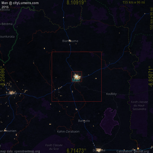
Analysis of Man night lights 2016
Square area 10x10 km:
 1.52%
1.52%90-99
1.95%80-89
3.68%70-79
5.41%60-69
6.06%50-59
1.73%40-49
8.01%30-39
1.95%20-29
1.08%10-19
16.88%0-9
51.73%Square area 50x50 km:
0.06%90-99
0.08%80-89
0.14%70-79
0.25%60-69
0.24%50-59
0.1%40-49
0.43%30-39
0.19%20-29
0.12%10-19
0.95%0-9
97.44%Clear (daylight) street map image can be seen on geolist.org.
Map coordinates:
8° 6' 33.1" North, 8° 15' 25.1" West
7° 24' 45" North, 7° 33' 13.8" West
6° 42' 53" North, 6° 51' 2.6" West
Some cities around Man sort by population:
• Danané
68.4 km =42.5 mi,  255°
255°
• Duekoué
77.9 km =48.4 mi,  163°
163°
• Guiglo
96.8 km =60.1 mi,  176°
176°
• Touba
97.9 km =60.8 mi,  351°
351°
• New Yekepa, LR
110 km =68.4 mi,  279°
279°
• Biankouma
36.9 km =22.9 mi, 349°
• Bangolo
45.1 km =28 mi,  170°
170°
• Ganta, LR
108.4 km =67.4 mi, 263°
2284647 (p: 139,341)
Sources (retrieved 2019-11-25):
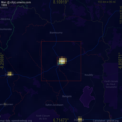
» NASA, Earths city lights 1995
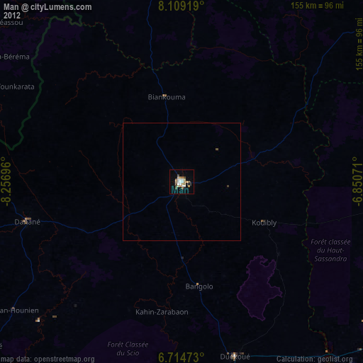
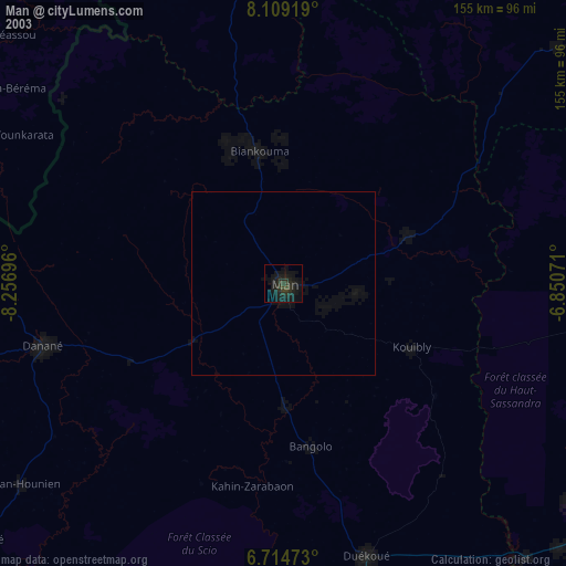
» NASA city lights 2003
» Earth at Night: Flat Maps 2012, 2016