Beyla night lights from space
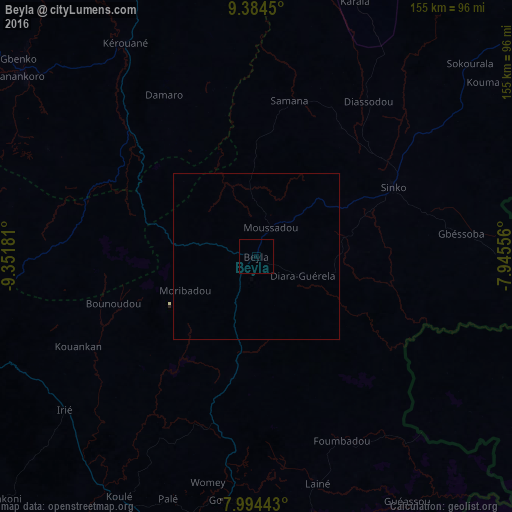
Night Light of Beyla (Nzerekore) from space (Guinea) Src. Average luminocity for 10x10km area is 0% and for 50x50km: 0.0019%.
Analysis of Beyla night lights 2016
Square area 10x10 km:
 0%
0%90-99
0%80-89
0%70-79
0%60-69
0%50-59
0%40-49
0%30-39
0%20-29
0%10-19
0%0-9
100%Square area 50x50 km:
0%90-99
0%80-89
0%70-79
0%60-69
0%50-59
0%40-49
0%30-39
0%20-29
0%10-19
0%0-9
100%Clear (daylight) street map image can be seen on geolist.org.
Map coordinates:
9° 23' 4.2" North, 9° 21' 6.5" West
8° 41' 24.4" North, 8° 38' 55.3" West
7° 59' 39.9" North, 7° 56' 44" West
Some cities around Beyla sort by population:
• Nzérékoré
105.5 km =65.6 mi,  190°
190°
• Odienné, CI
149.6 km =93 mi,  52°
52°
• Macenta
91.9 km =57.1 mi,  259°
259°
• Touba, CI
115.4 km =71.7 mi,  113°
113°
• Voinjama, LR
124.5 km =77.4 mi, 256°
• New Yekepa, LR
124.1 km =77.1 mi,  174°
174°
• Sanniquellie, LR
147.8 km =91.8 mi,  182°
182°
• Kérouané
75.8 km =47.1 mi,  327°
327°
2423126 (p: 11,566)
Sources (retrieved 2019-11-25):
» Earth at Night: Flat Maps 2012, 2016