Katiola night lights from space
Night Light of Katiola (Vallée du Bandama) from space (Ivory Coast) Src. Average luminocity for 10x10km area is 19.876% and for 50x50km: 1.1405%.
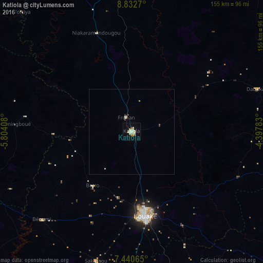
Analysis of Katiola night lights 2016
Square area 10x10 km:
 1.24%
1.24%90-99
6.4%80-89
4.96%70-79
2.27%60-69
0.21%50-59
0.83%40-49
2.27%30-39
0%20-29
0%10-19
9.5%0-9
72.31%Square area 50x50 km:
0.05%90-99
0.33%80-89
0.24%70-79
0.15%60-69
0.05%50-59
0.07%40-49
0.13%30-39
0.09%20-29
0.01%10-19
0.39%0-9
98.5%Clear (daylight) street map image can be seen on geolist.org.
Map coordinates:
8° 49' 57.7" North, 5° 48' 14.7" West
8° 8' 14.2" North, 5° 6' 3.4" West
7° 26' 26.3" North, 4° 23' 52.2" West
Some cities around Katiola sort by population:
• Bouaké
49.9 km =31 mi,  171°
171°
• Zuénoula
130.9 km =81.3 mi,  233°
233°
• Béoumi
73.8 km =45.9 mi, 225°
• Mankono
120.2 km =74.7 mi,  265°
265°
• Sakassou
78.8 km =49 mi,  195°
195°
• Dabakala
78.1 km =48.5 mi,  71°
71°
• Botro
39.2 km =24.4 mi,  216°
216°
• Bocanda
136.6 km =84.9 mi,  150°
150°
2287298 (p: 59,641)
Sources (retrieved 2019-11-25):
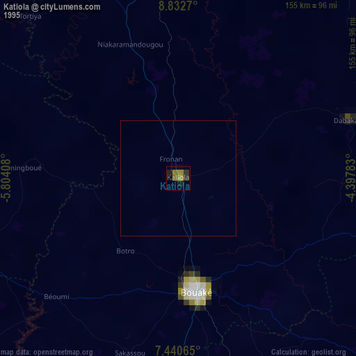
» NASA, Earths city lights 1995
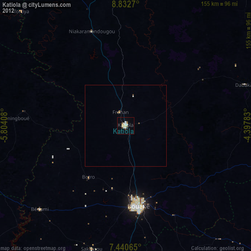
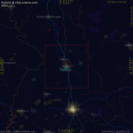
» NASA city lights 2003
» Earth at Night: Flat Maps 2012, 2016