Duekoué night lights from space
Night Light of Duekoué (Montagnes) from space (Ivory Coast) Src. Average luminocity for 10x10km area is 14.3117% and for 50x50km: 0.9516%.
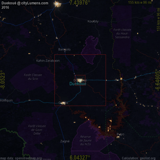
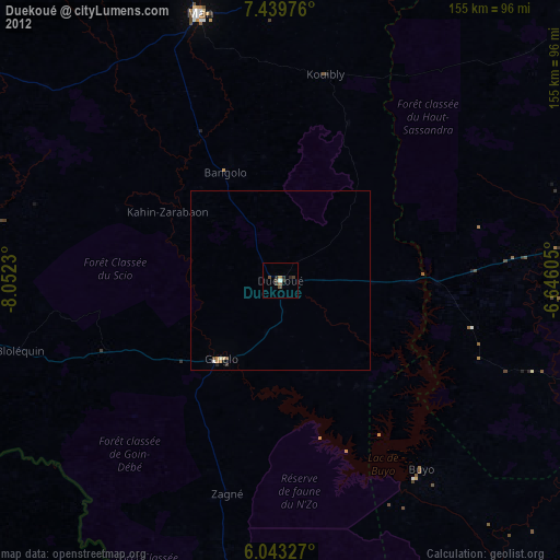
Analysis of Duekoué night lights 2016
Square area 10x10 km:
 0.43%
0.43%90-99
1.3%80-89
1.52%70-79
2.81%60-69
3.68%50-59
4.33%40-49
1.52%30-39
1.73%20-29
0.87%10-19
0.87%0-9
80.95%Square area 50x50 km:
0.03%90-99
0.09%80-89
0.11%70-79
0.18%60-69
0.18%50-59
0.24%40-49
0.16%30-39
0.21%20-29
0.03%10-19
0.03%0-9
98.72%Clear (daylight) street map image can be seen on geolist.org.
Map coordinates:
7° 26' 23.1" North, 8° 3' 8.3" West
6° 44' 31.3" North, 7° 20' 57" West
6° 2' 35.8" North, 6° 38' 45.8" West
Some cities around Duekoué sort by population:
• Daloa
100.4 km =62.4 mi,  81°
81°
• Man
77.9 km =48.4 mi,  343°
343°
• Danané
105.9 km =65.8 mi,  302°
302°
• Issia
88.8 km =55.2 mi,  108°
108°
• Guiglo
27.2 km =16.9 mi,  215°
215°
• Zwedru, LR
114.7 km =71.3 mi,  229°
229°
• Biankouma
114.6 km =71.2 mi,  345°
345°
• Bangolo
33.7 km =20.9 mi,  333°
333°
2289549 (p: 47,198)
Sources (retrieved 2019-11-25):
» Earth at Night: Flat Maps 2012, 2016