Guiglo night lights from space
Night Light of Guiglo (Montagnes) from space (Ivory Coast) Src. Average luminocity for 10x10km area is 8.0065% and for 50x50km: 0.9858%.

Analysis of Guiglo night lights 2016
Square area 10x10 km:
 0.43%
0.43%90-99
0.87%80-89
1.3%70-79
1.73%60-69
0.87%50-59
1.73%40-49
1.73%30-39
2.6%20-29
0%10-19
0%0-9
88.74%Square area 50x50 km:
0.03%90-99
0.09%80-89
0.11%70-79
0.25%60-69
0.22%50-59
0.24%40-49
0.13%30-39
0.21%20-29
0%10-19
0.03%0-9
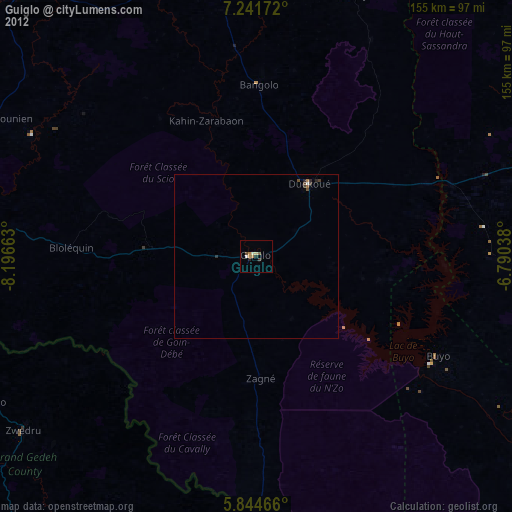
98.68%Clear (daylight) street map image can be seen on geolist.org.
Map coordinates:
7° 14' 30.2" North, 8° 11' 47.9" West
6° 32' 37.2" North, 7° 29' 36.6" West
5° 50' 40.8" North, 6° 47' 25.4" West
Some cities around Guiglo sort by population:
• Daloa
121 km =75.2 mi,  72°
72°
• Man
96.8 km =60.1 mi,  356°
356°
• Danané
108 km =67.1 mi,  317°
317°
• Issia
100.5 km =62.4 mi,  93°
93°
• Duekoué
27.2 km =16.9 mi,  35°
35°
• Zwedru, LR
88.5 km =55 mi,  233°
233°
• Bangolo
52.1 km =32.4 mi,  0°
0°
• Toulépleu Gueré
103.1 km =64.1 mi,  271°
271°
2287958 (p: 39,134)
Sources (retrieved 2019-11-25):
» Earth at Night: Flat Maps 2012, 2016