Zwedru night lights from space
Night Light of Zwedru (Grand Gedeh) from space (Liberia) Src. Average luminocity for 10x10km area is 0% and for 50x50km: 0%.

Analysis of Zwedru night lights 2016
Square area 10x10 km:
 0%
0%90-99
0%80-89
0%70-79
0%60-69
0%50-59
0%40-49
0%30-39
0%20-29
0%10-19
0%0-9
100%Square area 50x50 km:
0%90-99
0%80-89
0%70-79
0%60-69
0%50-59
0%40-49
0%30-39
0%20-29
0%10-19
0%0-9
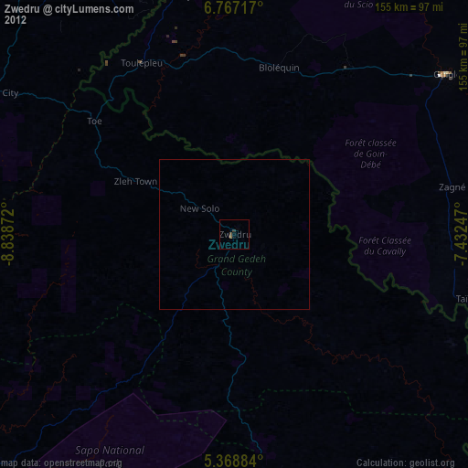
100%Clear (daylight) street map image can be seen on geolist.org.
Map coordinates:
6° 46' 1.8" North, 8° 50' 19.4" West
6° 4' 6.5" North, 8° 8' 8.1" West
5° 22' 7.8" North, 7° 25' 56.9" West
Some cities around Zwedru sort by population:
• Danané, CI
132.5 km =82.3 mi,  359°
359°
• Duekoué, CI
114.7 km =71.3 mi,  49°
49°
• Guiglo, CI
88.5 km =55 mi, 53°
• Bangolo, CI
127.1 km =79 mi,  34°
34°
• Greenville
154.3 km =95.9 mi,  220°
220°
• Toulépleu Gueré, CI
64.7 km =40.2 mi,  330°
330°
• Ganta
144 km =89.5 mi,  342°
342°
• Fish Town
101 km =62.8 mi,  163°
163°
2272491 (p: 25,678)
Sources (retrieved 2019-11-25):
» Earth at Night: Flat Maps 2012, 2016