Bangolo night lights from space
Night Light of Bangolo (Montagnes) from space (Ivory Coast) Src. Average luminocity for 10x10km area is 0.5931% and for 50x50km: 0.1579%.
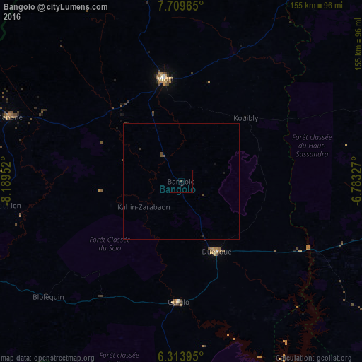
Analysis of Bangolo night lights 2016
Square area 10x10 km:
 0%
0%90-99
0%80-89
0%70-79
0%60-69
0%50-59
0%40-49
0.87%30-39
0%20-29
0%10-19
0.87%0-9
98.27%Square area 50x50 km:
0%90-99
0%80-89
0%70-79
0%60-69
0%50-59
0.01%40-49
0.2%30-39
0.07%20-29
0.02%10-19
0.1%0-9
99.6%Clear (daylight) street map image can be seen on geolist.org.
Map coordinates:
7° 42' 34.7" North, 8° 11' 22.3" West
7° 0' 44.4" North, 7° 29' 11" West
6° 18' 50.2" North, 6° 46' 59.8" West
Some cities around Bangolo sort by population:
• Daloa
115.3 km =71.6 mi,  97°
97°
• Man
45.1 km =28 mi,  350°
350°
• Danané
78.7 km =48.9 mi,  290°
290°
• Issia
115.1 km =71.5 mi,  120°
120°
• Duekoué
33.7 km =20.9 mi,  153°
153°
• Guiglo
52.1 km =32.4 mi,  180°
180°
• Biankouma
82 km =51 mi, 350°
• Toulépleu Gueré
114.6 km =71.2 mi,  244°
244°
2292179 (p: 17,712)
Sources (retrieved 2019-11-25):
» Earth at Night: Flat Maps 2012, 2016