Arrah night lights from space
Night Light of Arrah (Lacs) from space (Ivory Coast) Src. Average luminocity for 10x10km area is 4.4459% and for 50x50km: 0.636%.
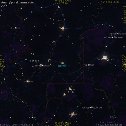
Analysis of Arrah night lights 2016
Square area 10x10 km:
 0%
0%90-99
0%80-89
0%70-79
1.52%60-69
1.95%50-59
0.87%40-49
1.73%30-39
0.87%20-29
0%10-19
0%0-9
93.07%Square area 50x50 km:
0%90-99
0%80-89
0.06%70-79
0.1%60-69
0.14%50-59
0.28%40-49
0.17%30-39
0.11%20-29
0.08%10-19
0.18%0-9
98.88%Clear (daylight) street map image can be seen on geolist.org.
Map coordinates:
7° 22' 16.6" North, 4° 40' 21" West
6° 40' 24.3" North, 3° 58' 9.8" West
5° 58' 28.5" North, 3° 15' 58.5" West
Some cities around Arrah sort by population:
• Abengourou
52.6 km =32.7 mi,  83°
83°
• Dimbokro
81.3 km =50.5 mi,  267°
267°
• Adzopé
64.1 km =39.8 mi,  169°
169°
• Daoukro
42.9 km =26.7 mi,  0°
0°
• Akoupé
33.4 km =20.8 mi,  164°
164°
• Bongouanou
26 km =16.2 mi,  264°
264°
• Affery
39.3 km =24.4 mi,  177°
177°
• Bocanda
72.8 km =45.2 mi,  306°
306°
2292755 (p: 37,432)
Sources (retrieved 2019-11-25):
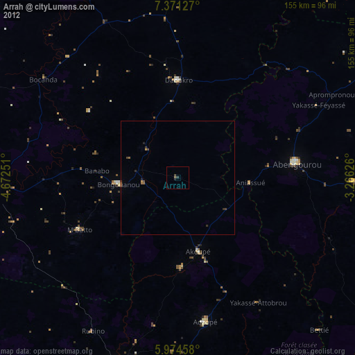
» Earth at Night: Flat Maps 2012, 2016