Akoupé night lights from space
Night Light of Akoupé (Lagunes) from space (Ivory Coast) Src. Average luminocity for 10x10km area is 10.0303% and for 50x50km: 0.7924%.
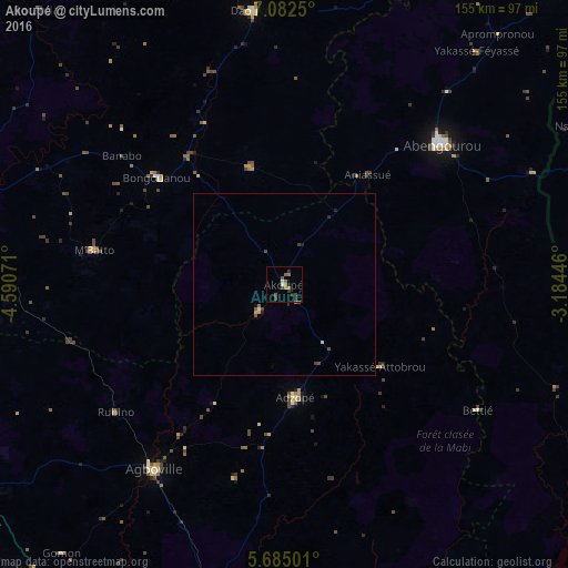
Analysis of Akoupé night lights 2016
Square area 10x10 km:
 0%
0%90-99
0.87%80-89
0.87%70-79
0.43%60-69
3.68%50-59
3.03%40-49
2.38%30-39
1.73%20-29
2.6%10-19
0.87%0-9
83.55%Square area 50x50 km:
0%90-99
0.07%80-89
0.07%70-79
0.09%60-69
0.2%50-59
0.19%40-49
0.26%30-39
0.13%20-29
0.17%10-19
0.14%0-9
98.68%Clear (daylight) street map image can be seen on geolist.org.
Map coordinates:
7° 4' 57" North, 4° 35' 26.6" West
6° 23' 3.2" North, 3° 53' 15.3" West
5° 41' 6" North, 3° 11' 4.1" West
Some cities around Akoupé sort by population:
• Abengourou
57.8 km =35.9 mi,  48°
48°
• Agboville
62.2 km =38.6 mi,  215°
215°
• Dimbokro
94.9 km =59 mi,  287°
287°
• Adzopé
31 km =19.3 mi,  174°
174°
• Daoukro
75.5 km =46.9 mi,  353°
353°
• Arrah
33.4 km =20.8 mi,  344°
344°
• Bongouanou
45.9 km =28.5 mi,  310°
310°
• Affery
10.1 km =6.3 mi,  225°
225°
2293107 (p: 35,970)
Sources (retrieved 2019-11-25):
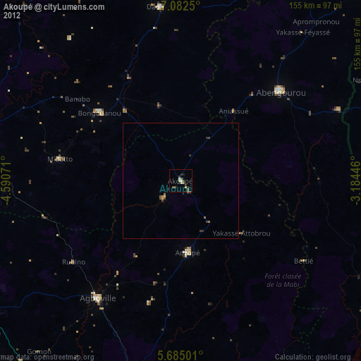
» Earth at Night: Flat Maps 2012, 2016