Bocanda night lights from space
Night Light of Bocanda (Lacs) from space (Ivory Coast) Src. Average luminocity for 10x10km area is 1.5758% and for 50x50km: 0.4215%.
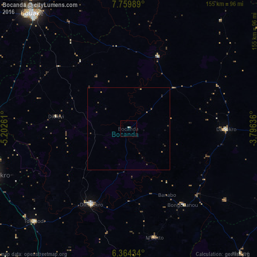
Analysis of Bocanda night lights 2016
Square area 10x10 km:
 0%
0%90-99
0.87%80-89
0%70-79
0%60-69
0%50-59
0.87%40-49
0%30-39
0%20-29
0%10-19
0%0-9
98.27%Square area 50x50 km:
0%90-99
0.03%80-89
0.03%70-79
0.04%60-69
0.06%50-59
0.07%40-49
0.21%30-39
0.16%20-29
0.1%10-19
0.14%0-9
99.15%Clear (daylight) street map image can be seen on geolist.org.
Map coordinates:
7° 45' 35.6" North, 5° 12' 9.4" West
7° 3' 45.5" North, 4° 29' 58.1" West
6° 21' 51.6" North, 3° 47' 46.9" West
Some cities around Bocanda sort by population:
• Bouaké
91.4 km =56.8 mi,  320°
320°
• Yamoussoukro
89.9 km =55.9 mi,  252°
252°
• Dimbokro
51.5 km =32 mi,  206°
206°
• Daoukro
59.2 km =36.8 mi,  90°
90°
• Toumodi
80.1 km =49.8 mi,  225°
225°
• Arrah
72.8 km =45.2 mi,  126°
126°
• Bongouanou
56.1 km =34.9 mi,  144°
144°
• Sakassou
97.7 km =60.7 mi,  296°
296°
2291383 (p: 13,079)
Sources (retrieved 2019-11-25):
» Earth at Night: Flat Maps 2012, 2016