Bongouanou night lights from space
Night Light of Bongouanou (Lacs) from space (Ivory Coast) Src. Average luminocity for 10x10km area is 8.1364% and for 50x50km: 1.3228%.
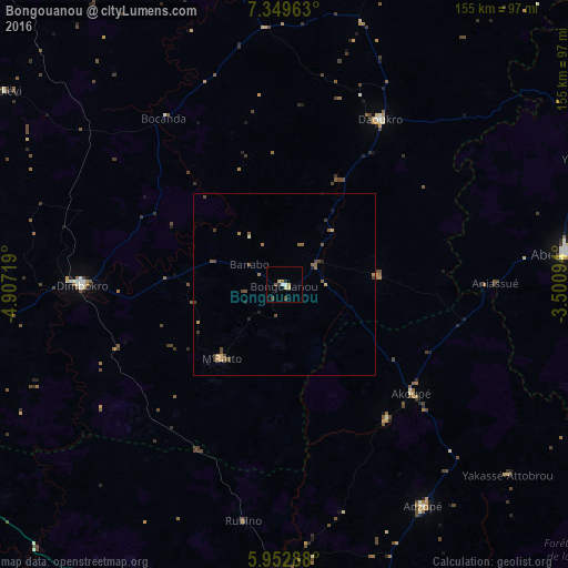
Analysis of Bongouanou night lights 2016
Square area 10x10 km:
 0.22%
0.22%90-99
1.52%80-89
1.73%70-79
1.73%60-69
0.87%50-59
0.87%40-49
1.52%30-39
0.22%20-29
1.73%10-19
0%0-9
89.61%Square area 50x50 km:
0.01%90-99
0.1%80-89
0.15%70-79
0.24%60-69
0.22%50-59
0.47%40-49
0.38%30-39
0.22%20-29
0.19%10-19
0.15%0-9
97.87%Clear (daylight) street map image can be seen on geolist.org.
Map coordinates:
7° 20' 58.7" North, 4° 54' 25.9" West
6° 39' 6.3" North, 4° 12' 14.6" West
5° 57' 10.4" North, 3° 30' 3.4" West
Some cities around Bongouanou sort by population:
• Abengourou
78.6 km =48.8 mi,  83°
83°
• Dimbokro
55.3 km =34.4 mi,  269°
269°
• Adzopé
71.4 km =44.4 mi,  148°
148°
• Daoukro
52.5 km =32.6 mi,  30°
30°
• Arrah
26 km =16.2 mi, 84°
• Akoupé
45.9 km =28.5 mi,  130°
130°
• Affery
46.2 km =28.7 mi,  142°
142°
• Bocanda
56.1 km =34.9 mi,  324°
324°
2291113 (p: 34,405)
Sources (retrieved 2019-11-25):
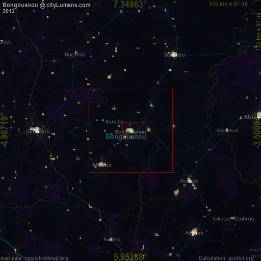
» Earth at Night: Flat Maps 2012, 2016