Rorschach night lights from space
Night Light of Rorschach (Saint Gallen) from space (Switzerland) Src. Average luminocity for 10x10km area is 14.2841% and for 50x50km: 9.6015%.
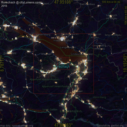
Analysis of Rorschach night lights 2016
Square area 10x10 km:
 1.14%
1.14%90-99
1.7%80-89
2.98%70-79
0.57%60-69
1.28%50-59
1.14%40-49
3.55%30-39
2.27%20-29
0.71%10-19
7.53%0-9
77.13%Square area 50x50 km:
0.73%90-99
1.28%80-89
0.8%70-79
1%60-69
1.52%50-59
1.48%40-49
1.78%30-39
1.5%20-29
2.25%10-19
10.06%0-9
77.61%Clear (daylight) street map image can be seen on geolist.org.
Map coordinates:
47° 57' 3.9" North, 8° 47' 13.8" East
47° 28' 40.8" North, 9° 29' 25.1" East
47° 0' 2.3" North, 10° 11' 36.3" East
Some cities around Rorschach sort by population:
• Sankt Gallen
10.6 km =6.6 mi,  235°
235°
• Arbon
6.1 km =3.8 mi,  315°
315°
• Goldach
1.8 km =1.1 mi,  255°
255°
• Wittenbach
8.1 km =5 mi, 256°
• Höchst, AT
11.5 km =7.1 mi,  100°
100°
• Au
12 km =7.5 mi,  115°
115°
• Thal
5.9 km =3.7 mi, 102°
• Sankt Margrethen
11.4 km =7.1 mi, 104°
2658969 (p: 9,000)
Sources (retrieved 2019-11-25):
» Earth at Night: Flat Maps 2012, 2016