Au night lights from space
Night Light of Au (Saint Gallen) from space (Switzerland) Src. Average luminocity for 10x10km area is 30.3082% and for 50x50km: 8.0193%.
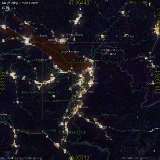
Analysis of Au night lights 2016
Square area 10x10 km:
 0.43%
0.43%90-99
3.55%80-89
1.85%70-79
3.69%60-69
6.53%50-59
5.4%40-49
8.95%30-39
4.83%20-29
17.61%10-19
29.97%0-9
17.19%Square area 50x50 km:
0.45%90-99
0.89%80-89
0.65%70-79
0.96%60-69
1.27%50-59
1.4%40-49
1.58%30-39
1.13%20-29
2.09%10-19
8.88%0-9
80.68%Clear (daylight) street map image can be seen on geolist.org.
Map coordinates:
47° 54' 15.9" North, 8° 55' 52.9" East
47° 25' 51.3" North, 9° 38' 4.1" East
46° 57' 11.3" North, 10° 20' 15.4" East
Some cities around Au sort by population:
• Dornbirn, AT
8.3 km =5.2 mi,  102°
102°
• Lustenau, AT
1.9 km =1.2 mi,  105°
105°
• Hohenems, AT
8 km =5 mi,  152°
152°
• Hard, AT
6.9 km =4.3 mi,  32°
32°
• Höchst, AT
3.2 km =2 mi,  8°
8°
• Thal
6.5 km =4 mi,  307°
307°
• Diepoldsau
5.2 km =3.2 mi,  162°
162°
• Sankt Margrethen
2.4 km =1.5 mi, 5°
2661689 (p: 6,673)
Sources (retrieved 2019-11-25):
» Earth at Night: Flat Maps 2012, 2016