Thal night lights from space
Night Light of Thal (Saint Gallen) from space (Switzerland) Src. Average luminocity for 10x10km area is 11.2756% and for 50x50km: 8.9668%.
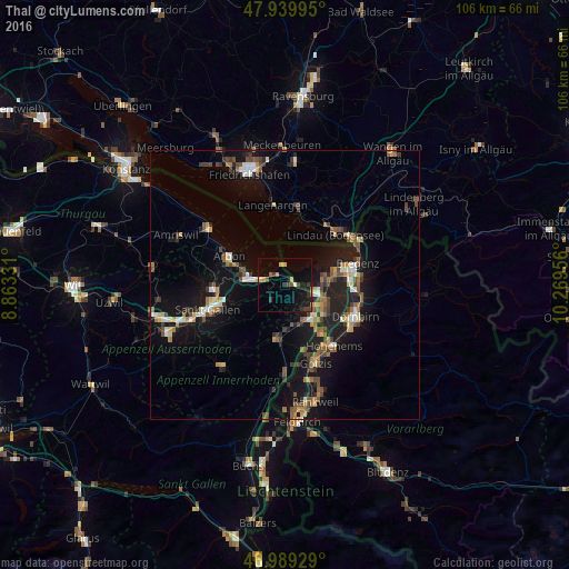
Analysis of Thal night lights 2016
Square area 10x10 km:
 0%
0%90-99
0.57%80-89
1.28%70-79
1.99%60-69
0.99%50-59
1.56%40-49
1.99%30-39
2.84%20-29
1.99%10-19
10.94%0-9
75.85%Square area 50x50 km:
0.61%90-99
1.11%80-89
0.79%70-79
0.94%60-69
1.45%50-59
1.49%40-49
1.77%30-39
1.37%20-29
2.21%10-19
9.41%0-9
78.87%Clear (daylight) street map image can be seen on geolist.org.
Map coordinates:
47° 56' 23.8" North, 8° 51' 47.9" East
47° 28' 0.4" North, 9° 33' 59.1" East
46° 59' 21.4" North, 10° 16' 10.4" East
Some cities around Thal sort by population:
• Lustenau, AT
8.3 km =5.2 mi,  122°
122°
• Hard, AT
9 km =5.6 mi,  78°
78°
• Altstätten
10 km =6.2 mi,  188°
188°
• Goldach
7.5 km =4.7 mi,  276°
276°
• Rorschach
5.9 km =3.7 mi, 282°
• Höchst, AT
5.6 km =3.5 mi,  98°
98°
• Au
6.5 km =4 mi,  127°
127°
• Sankt Margrethen
5.6 km =3.5 mi,  106°
106°
6620245 (p: 6,433)
Sources (retrieved 2019-11-25):
» Earth at Night: Flat Maps 2012, 2016