Sankt Gallen night lights from space
Night Light of Sankt Gallen (Saint Gallen) from space (Switzerland) Src. Average luminocity for 10x10km area is 24.7912% and for 50x50km: 8.0455%.
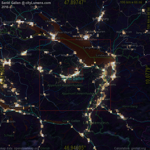
Analysis of Sankt Gallen night lights 2016
Square area 10x10 km:
 3.69%
3.69%90-99
5.26%80-89
2.27%70-79
2.13%60-69
3.98%50-59
1.14%40-49
1.85%30-39
2.27%20-29
3.13%10-19
39.77%0-9
34.52%Square area 50x50 km:
0.41%90-99
0.82%80-89
0.74%70-79
0.97%60-69
1.31%50-59
1.25%40-49
1.63%30-39
1.22%20-29
1.75%10-19
8.52%0-9
81.38%Clear (daylight) street map image can be seen on geolist.org.
Map coordinates:
47° 53' 50.9" North, 8° 40' 17.9" East
47° 25' 26.1" North, 9° 22' 29.2" East
46° 56' 45.8" North, 10° 4' 40.4" East
Some cities around Sankt Gallen sort by population:
• Gossau
9.1 km =5.7 mi,  264°
264°
• Herisau
8.3 km =5.2 mi,  239°
239°
• Arbon
11.2 km =7 mi,  23°
23°
• Goldach
8.9 km =5.5 mi,  51°
51°
• Rorschach
10.6 km =6.6 mi,  55°
55°
• Wittenbach
4.2 km =2.6 mi,  11°
11°
• Teufen
3.8 km =2.4 mi,  166°
166°
• Appenzell
10.7 km =6.6 mi, 165°
2658822 (p: 70,572)
Sources (retrieved 2019-11-25):
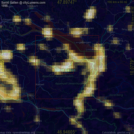
» NASA, Earths city lights 1995
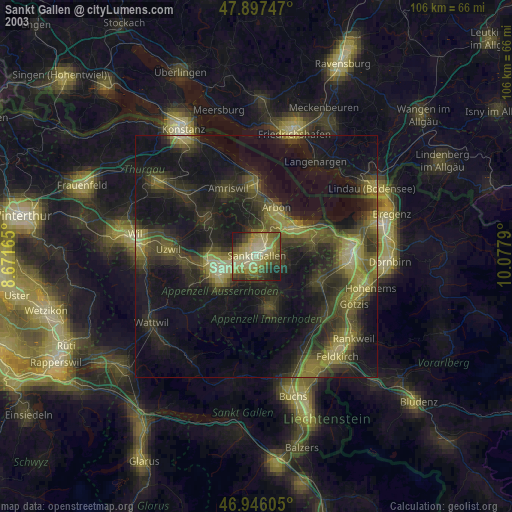
» NASA city lights 2003
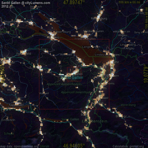
» Earth at Night: Flat Maps 2012, 2016