Lausanne night lights from space
Night Light of Lausanne (Vaud) from space (Switzerland) Src. Average luminocity for 10x10km area is 51.2912% and for 50x50km: 12.3344%.
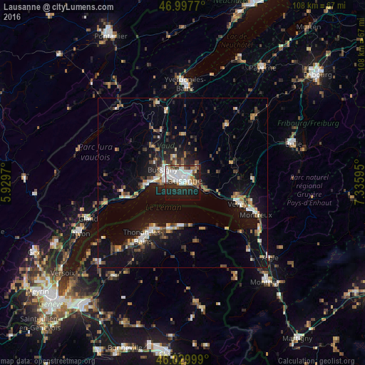
Analysis of Lausanne night lights 2016
Square area 10x10 km:
 15.34%
90-99
15.48%80-89
3.41%70-79
2.27%60-69
4.55%50-59
3.98%40-49
2.84%30-39
6.11%20-29
17.61%10-19
23.01%0-9
5.4%Square area 50x50 km:
1.5%90-99
2.03%80-89
0.91%70-79
1.18%60-69
1.51%50-59
1.39%40-49
1.95%30-39
1.86%20-29
3.12%10-19
10.81%0-9
73.74%Clear (daylight) street map image can be seen on geolist.org.
Map coordinates:
46° 59' 51.7" North, 5° 55' 46.9" East
46° 30' 57.6" North, 6° 37' 58.2" East
46° 1' 48" North, 7° 20' 9.4" East
Some cities around Lausanne sort by population:
• Renens
4.3 km =2.7 mi,  307°
307°
• Pully
2.3 km =1.4 mi,  106°
106°
• Prilly
3.2 km =2 mi,  317°
317°
• Lutry
4.4 km =2.7 mi, 110°
• Epalinges
4.6 km =2.9 mi,  36°
36°
• Blécherette
2.7 km =1.7 mi,  342°
342°
• Chavannes
5 km =3.1 mi,  288°
288°
• Le Mont-sur-Lausanne
4.7 km =2.9 mi,  358°
358°
2659994 (p: 116,751)
Sources (retrieved 2019-11-25):
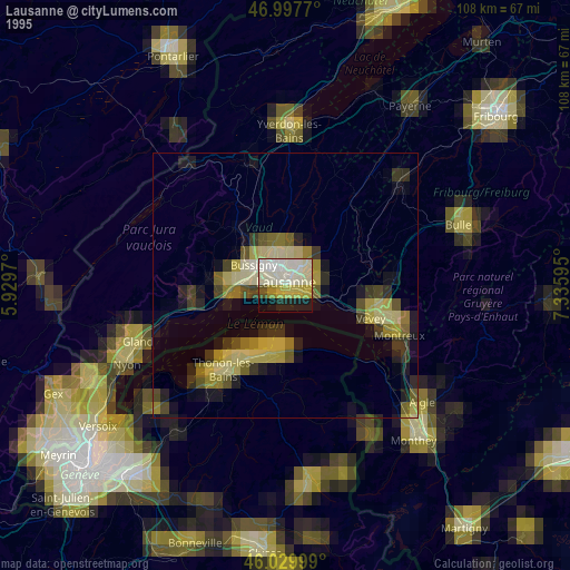
» NASA, Earths city lights 1995
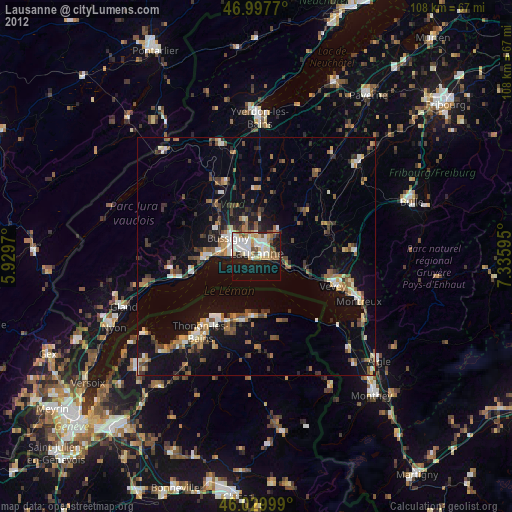
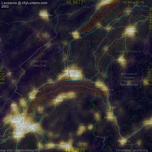
» NASA city lights 2003
» Earth at Night: Flat Maps 2012, 2016