Owando night lights from space
Night Light of Owando (Cuvette) from space (Republic of the Congo) Src. Average luminocity for 10x10km area is 13.4416% and for 50x50km: 0.6267%.

Analysis of Owando night lights 2016
Square area 10x10 km:
 1.52%
1.52%90-99
1.95%80-89
0.87%70-79
1.73%60-69
2.6%50-59
0.87%40-49
4.11%30-39
1.95%20-29
1.73%10-19
1.73%0-9
80.95%Square area 50x50 km:
0.06%90-99
0.08%80-89
0.03%70-79
0.09%60-69
0.16%50-59
0.03%40-49
0.16%30-39
0.08%20-29
0.1%10-19
0.07%0-9
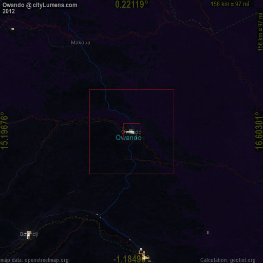
99.13%Clear (daylight) street map image can be seen on geolist.org.
Map coordinates:
0° 13' 16.3" North, 15° 11' 48.3" East
0° 28' 54.9" South, 15° 53' 59.6" East
1° 11' 5.9" South, 16° 36' 10.8" East
Some cities around Owando sort by population:
• Bolobo, CD
190 km =118.1 mi,  168°
168°
• Ouésso
233.6 km =145.2 mi,  4°
4°
• Gamboma
155.1 km =96.4 mi,  181°
181°
• Lukolela, CD
156.4 km =97.2 mi,  114°
114°
• Makoua
61.9 km =38.5 mi,  331°
331°
• Djambala
262.4 km =163 mi,  209°
209°
• Okondja, GA
248.1 km =154.2 mi,  265°
265°
• Ewo
127.6 km =79.3 mi,  250°
250°
2255542 (p: 23,952)
Sources (retrieved 2019-11-25):
» Earth at Night: Flat Maps 2012, 2016