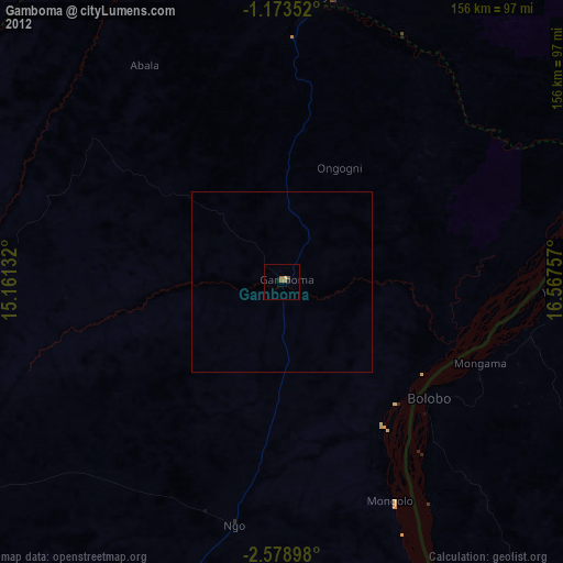
Gamboma night lights from space
Night Light of Gamboma (Plateaux) from space (Republic of the Congo) Src. Average luminocity for 10x10km area is 3.3052% and for 50x50km: 0.1321%.
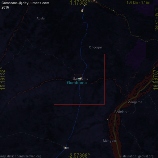
Analysis of Gamboma night lights 2016
Square area 10x10 km:
 0%
0%90-99
0%80-89
0%70-79
0.65%60-69
1.73%50-59
1.08%40-49
0%30-39
1.73%20-29
0.87%10-19
0%0-9
93.94%Square area 50x50 km:
0%90-99
0%80-89
0%70-79
0.03%60-69
0.07%50-59
0.04%40-49
0%30-39
0.07%20-29
0.03%10-19
0%0-9
99.76%Clear (daylight) street map image can be seen on geolist.org.
Map coordinates:
1° 10' 24.7" South, 15° 9' 40.8" East
1° 52' 35" South, 15° 51' 52" East
2° 34' 44.3" South, 16° 34' 3.3" East
Some cities around Gamboma sort by population:
• Nioki, CD
223.5 km =138.9 mi,  114°
114°
• Mushie, CD
172.9 km =107.4 mi,  137°
137°
• Bolobo, CD
51.5 km =32 mi,  127°
127°
• Owando
155.1 km =96.4 mi,  1°
1°
• Lukolela, CD
172.3 km =107.1 mi,  58°
58°
• Makoua
211 km =131.1 mi,  353°
353°
• Djambala
144.1 km =89.5 mi,  238°
238°
• Ewo
161 km =100 mi,  313°
313°
2259947 (p: 20,877)
Sources (retrieved 2019-11-25):
» Earth at Night: Flat Maps 2012, 2016