Ouésso night lights from space
Night Light of Ouésso (Sangha) from space (Republic of the Congo) Src. Average luminocity for 10x10km area is 11.2338% and for 50x50km: 0.5137%.
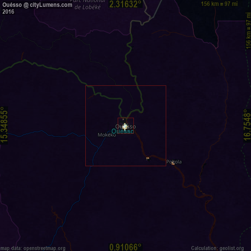
Analysis of Ouésso night lights 2016
Square area 10x10 km:
 1.73%
1.73%90-99
2.38%80-89
3.03%70-79
1.52%60-69
0%50-59
0%40-49
1.73%30-39
0.87%20-29
0.87%10-19
0.87%0-9
87.01%Square area 50x50 km:
0.07%90-99
0.1%80-89
0.12%70-79
0.06%60-69
0%50-59
0.03%40-49
0.1%30-39
0.03%20-29
0.03%10-19
0.07%0-9
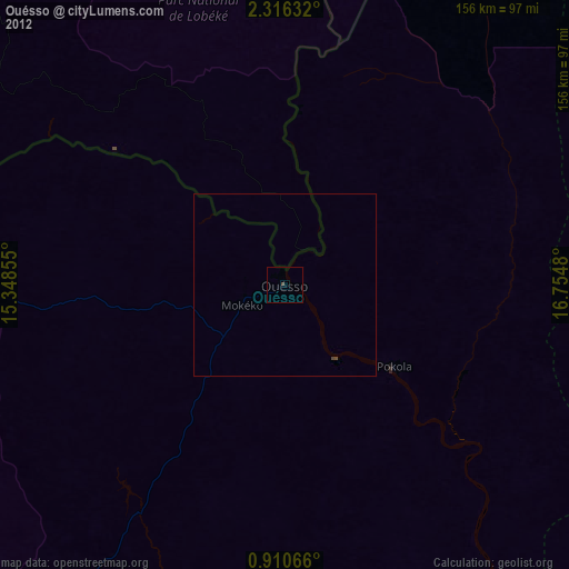
99.38%Clear (daylight) street map image can be seen on geolist.org.
Map coordinates:
2° 18' 58.8" North, 15° 20' 54.8" East
1° 36' 49" North, 16° 3' 6" East
0° 54' 38.4" North, 16° 45' 17.3" East
Some cities around Ouésso sort by population:
• Berbérati, CF
295.8 km =183.8 mi,  354°
354°
• Nola, CF
212.5 km =132 mi,  359°
359°
• Owando
233.6 km =145.2 mi,  184°
184°
• Impfondo
223.2 km =138.7 mi,  89°
89°
• Yokadouma, CM
239.1 km =148.6 mi,  332°
332°
• Makoua
184.6 km =114.7 mi,  194°
194°
• Gamboula, CF
296.3 km =184.1 mi,  340°
340°
• Ndelele, CM
297.5 km =184.9 mi, 335°
2255564 (p: 23,915)
Sources (retrieved 2019-11-25):
» Earth at Night: Flat Maps 2012, 2016