Boda night lights from space
Night Light of Boda (Lobaye) from space (Central African Republic) Src. Average luminocity for 10x10km area is 0% and for 50x50km: 0%.
Analysis of Boda night lights 2016
Square area 10x10 km:
 0%
0%90-99
0%80-89
0%70-79
0%60-69
0%50-59
0%40-49
0%30-39
0%20-29
0%10-19
0%0-9
100%Square area 50x50 km:
0%90-99
0%80-89
0%70-79
0%60-69
0%50-59
0%40-49
0%30-39
0%20-29
0%10-19
0%0-9
100%Clear (daylight) street map image can be seen on geolist.org.
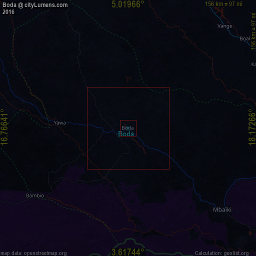
Map coordinates:
5° 1' 10.8" North, 16° 45' 59.1" East
4° 19' 7.9" North, 17° 28' 10.3" East
3° 37' 2.8" North, 18° 10' 21.6" East
Some cities around Boda sort by population:
• Bangui
120.4 km =74.8 mi,  87°
87°
• Bimbo
105.2 km =65.4 mi, 93°
• Mbaïki
76.4 km =47.5 mi,  131°
131°
• Libenge, CD
149 km =92.6 mi,  119°
119°
• Nola
180.9 km =112.4 mi,  240°
240°
• Damara
154.3 km =95.9 mi,  62°
62°
• Mongoumba
145.7 km =90.5 mi, 121°
• Boali
90.5 km =56.2 mi,  53°
53°
2388614 (p: 16,655)
Sources (retrieved 2019-11-25):
» Earth at Night: Flat Maps 2012, 2016