Bozoum night lights from space
Night Light of Bozoum (Ouham-Pendé) from space (Central African Republic) Src. Average luminocity for 10x10km area is 0% and for 50x50km: 0%.
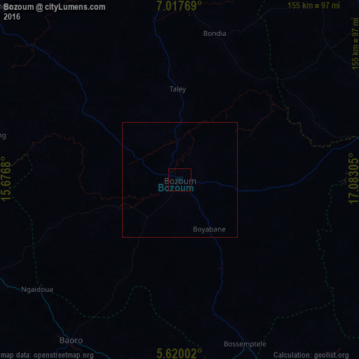

Analysis of Bozoum night lights 2016
Square area 10x10 km:
 0%
0%90-99
0%80-89
0%70-79
0%60-69
0%50-59
0%40-49
0%30-39
0%20-29
0%10-19
0%0-9
100%Square area 50x50 km:
0%90-99
0%80-89
0%70-79
0%60-69
0%50-59
0%40-49
0%30-39
0%20-29
0%10-19
0%0-9
100%Clear (daylight) street map image can be seen on geolist.org.
Map coordinates:
7° 1' 3.7" North, 15° 40' 36.5" East
6° 19' 9.6" North, 16° 22' 47.7" East
5° 37' 12.1" North, 17° 4' 59" East
Some cities around Bozoum sort by population:
• Garoua Boulaï, CM
208 km =129.2 mi,  256°
256°
• Carnot
162.9 km =101.2 mi,  199°
199°
• Bouar
96.7 km =60.1 mi,  243°
243°
• Bossangoa
120.4 km =74.8 mi,  80°
80°
• Paoua
102.9 km =63.9 mi,  3°
3°
• Bouca
210.6 km =130.9 mi, 84°
• Baoro
85.8 km =53.3 mi,  212°
212°
• Béboto, TD
225.1 km =139.9 mi,  15°
15°
2387546 (p: 40,201)
Sources (retrieved 2019-11-25):
» Earth at Night: Flat Maps 2012, 2016