Damara night lights from space
Night Light of Damara (Ombella-M'Poko) from space (Central African Republic) Src. Average luminocity for 10x10km area is 0% and for 50x50km: 0%.
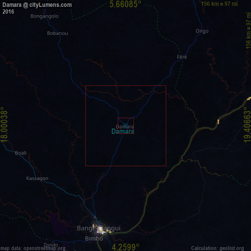
Analysis of Damara night lights 2016
Square area 10x10 km:
 0%
0%90-99
0%80-89
0%70-79
0%60-69
0%50-59
0%40-49
0%30-39
0%20-29
0%10-19
0%0-9
100%Square area 50x50 km:
0%90-99
0%80-89
0%70-79
0%60-69
0%50-59
0%40-49
0%30-39
0%20-29
0%10-19
0%0-9
100%Clear (daylight) street map image can be seen on geolist.org.
Map coordinates:
5° 39' 39.1" North, 18° 0' 1.4" East
4° 57' 38.7" North, 18° 42' 12.6" East
4° 15' 35.6" North, 19° 24' 23.9" East
Some cities around Damara sort by population:
• Bangui
68.7 km =42.7 mi,  193°
193°
• Bimbo
84.5 km =52.5 mi,  202°
202°
• Mbaïki
145 km =90.1 mi,  213°
213°
• Sibut
93.7 km =58.2 mi,  25°
25°
• Libenge, CD
145.6 km =90.5 mi,  182°
182°
• Mongoumba
147.2 km =91.5 mi, 184°
• Kouango
139.4 km =86.6 mi,  88°
88°
• Boali
66.3 km =41.2 mi,  254°
254°
2387435 (p: 20,093)
Sources (retrieved 2019-11-25):
» Earth at Night: Flat Maps 2012, 2016