Paoua night lights from space
Night Light of Paoua (Ouham-Pendé) from space (Central African Republic) Src. Average luminocity for 10x10km area is 0% and for 50x50km: 0%.
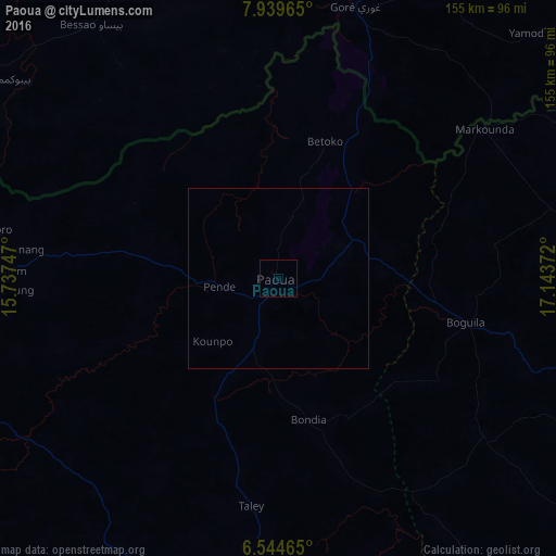
Analysis of Paoua night lights 2016
Square area 10x10 km:
 0%
0%90-99
0%80-89
0%70-79
0%60-69
0%50-59
0%40-49
0%30-39
0%20-29
0%10-19
0%0-9
100%Square area 50x50 km:
0%90-99
0%80-89
0%70-79
0%60-69
0%50-59
0%40-49
0%30-39
0%20-29
0%10-19
0%0-9
100%Clear (daylight) street map image can be seen on geolist.org.
Map coordinates:
7° 56' 22.7" North, 15° 44' 14.9" East
7° 14' 33.7" North, 16° 26' 26.1" East
6° 32' 40.7" North, 17° 8' 37.4" East
Some cities around Paoua sort by population:
• Moundou, TD
152.4 km =94.7 mi,  345°
345°
• Bozoum
102.9 km =63.9 mi,  183°
183°
• Bouar
172.8 km =107.4 mi,  212°
212°
• Bossangoa
139.6 km =86.7 mi,  126°
126°
• Doba, TD
162.8 km =101.2 mi,  16°
16°
• Bébédja, TD
160 km =99.4 mi,  4°
4°
• Baoro
182.9 km =113.6 mi,  196°
196°
• Béboto, TD
126.4 km =78.5 mi,  25°
25°
2383523 (p: 18,441)
Sources (retrieved 2019-11-25):
» Earth at Night: Flat Maps 2012, 2016