Wamba night lights from space
Night Light of Wamba (Haut-Uele) from space (Democratic Republic of the Congo) Src. Average luminocity for 10x10km area is 0% and for 50x50km: 0%.
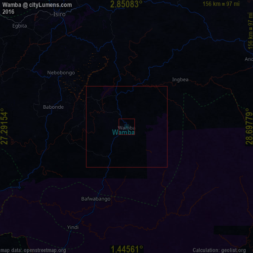
Analysis of Wamba night lights 2016
Square area 10x10 km:
 0%
0%90-99
0%80-89
0%70-79
0%60-69
0%50-59
0%40-49
0%30-39
0%20-29
0%10-19
0%0-9
100%Square area 50x50 km:
0%90-99
0%80-89
0%70-79
0%60-69
0%50-59
0%40-49
0%30-39
0%20-29
0%10-19
0%0-9
100%Clear (daylight) street map image can be seen on geolist.org.
Map coordinates:
2° 51' 3" North, 27° 17' 29.5" East
2° 8' 54.2" North, 27° 59' 40.8" East
1° 26' 44.2" North, 28° 41' 52" East
Some cities around Wamba sort by population:
• Beni
246.9 km =153.4 mi,  138°
138°
• Butembo
265.6 km =165 mi,  147°
147°
• Isiro
81.3 km =50.5 mi,  328°
328°
• Bunia
259.3 km =161.1 mi,  104°
104°
• Yambio, SS
273 km =169.6 mi,  9°
9°
• Watsa
197.6 km =122.8 mi,  59°
59°
• Bundibugyo, UG
280.1 km =174 mi,  124°
124°
• Margherita, UG
285.4 km =177.3 mi,  132°
132°
204318 (p: 17,373)
Sources (retrieved 2019-11-25):
» Earth at Night: Flat Maps 2012, 2016