Beni night lights from space
Night Light of Beni (Nord Kivu) from space (Democratic Republic of the Congo) Src. Average luminocity for 10x10km area is 0% and for 50x50km: 0.011%.
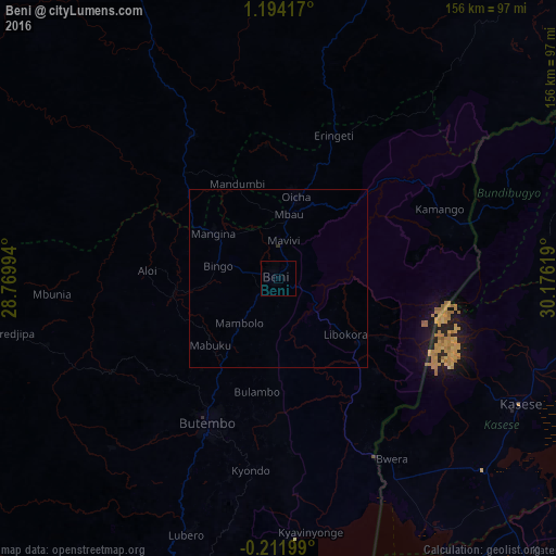
Analysis of Beni night lights 2016
Square area 10x10 km:
 0%
0%90-99
0%80-89
0%70-79
0%60-69
0%50-59
0%40-49
0%30-39
0%20-29
0%10-19
0%0-9
100%Square area 50x50 km:
0%90-99
0%80-89
0%70-79
0%60-69
0%50-59
0%40-49
0%30-39
0.02%20-29
0.02%10-19
0%0-9
99.97%Clear (daylight) street map image can be seen on geolist.org.
Map coordinates:
1° 11' 39" North, 28° 46' 11.8" East
0° 29' 28.1" North, 29° 28' 23" East
0° 12' 43.2" South, 30° 10' 34.3" East
Some cities around Beni sort by population:
• Butembo
43.8 km =27.2 mi,  207°
207°
• Kasese, UG
76 km =47.2 mi,  116°
116°
• Fort Portal, UG
91.1 km =56.6 mi,  77°
77°
• Kyenjojo, UG
128.6 km =79.9 mi, 82°
• Kamwenge, UG
114.2 km =71 mi,  107°
107°
• Bundibugyo, UG
70.2 km =43.6 mi,  69°
69°
• Kilembe, UG
68.3 km =42.4 mi, 118°
• Margherita, UG
47.2 km =29.3 mi,  99°
99°
219057 (p: 232,000)
Sources (retrieved 2019-11-25):
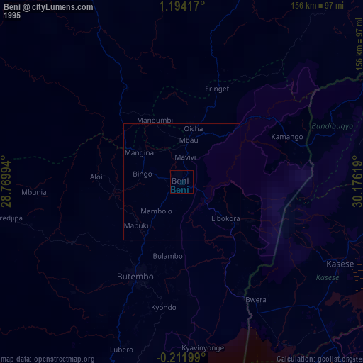
» NASA, Earths city lights 1995
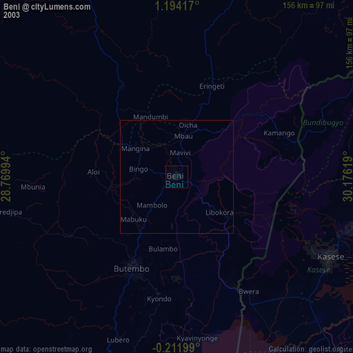
» NASA city lights 2003
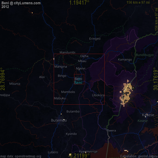
» Earth at Night: Flat Maps 2012, 2016