Yambio night lights from space
Night Light of Yambio (Gbudwe) from space (South Sudan) Src. Average luminocity for 10x10km area is 0% and for 50x50km: 0%.

Analysis of Yambio night lights 2016
Square area 10x10 km:
 0%
0%90-99
0%80-89
0%70-79
0%60-69
0%50-59
0%40-49
0%30-39
0%20-29
0%10-19
0%0-9
100%Square area 50x50 km:
0%90-99
0%80-89
0%70-79
0%60-69
0%50-59
0%40-49
0%30-39
0%20-29
0%10-19
0%0-9
100%Clear (daylight) street map image can be seen on geolist.org.
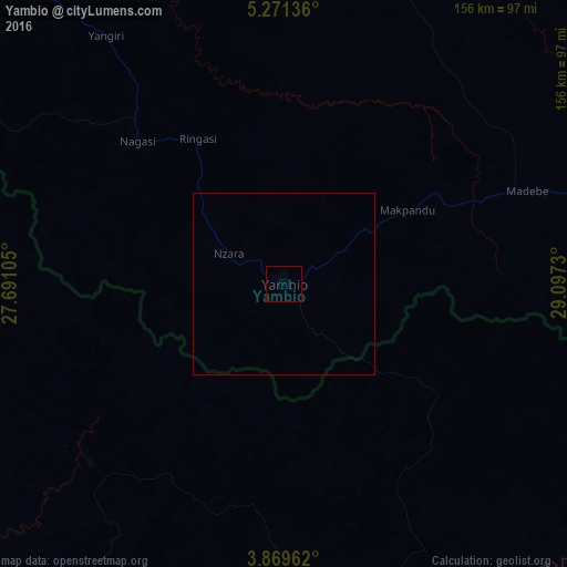
Map coordinates:
5° 16' 16.9" North, 27° 41' 27.8" East
4° 34' 15" North, 28° 23' 39" East
3° 52' 10.6" North, 29° 5' 50.3" East
Some cities around Yambio sort by population:
• Isiro, CD
217.7 km =135.3 mi,  203°
203°
• Yei
258.5 km =160.6 mi,  101°
101°
• Watsa, CD
212.4 km =132 mi,  143°
143°
• Wamba, CD
273 km =169.6 mi,  189°
189°
• Maridi
125.2 km =77.8 mi,  72°
72°
• Obo, CF
229.8 km =142.8 mi,  293°
293°
• Tambura
153.8 km =95.6 mi,  318°
318°
• Mundri
230.6 km =143.3 mi, 68°
363656 (p: 40,382)
Sources (retrieved 2019-11-25):
» Earth at Night: Flat Maps 2012, 2016