Isiro night lights from space
Night Light of Isiro (Haut-Uele) from space (Democratic Republic of the Congo) Src. Average luminocity for 10x10km area is 0% and for 50x50km: 0%.
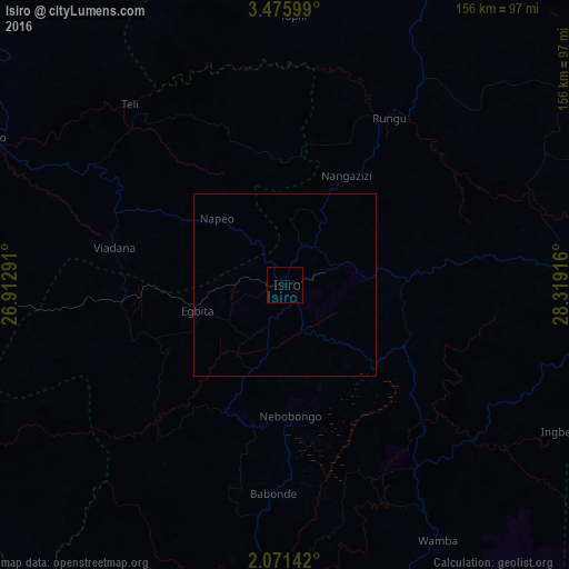
Analysis of Isiro night lights 2016
Square area 10x10 km:
 0%
0%90-99
0%80-89
0%70-79
0%60-69
0%50-59
0%40-49
0%30-39
0%20-29
0%10-19
0%0-9
100%Square area 50x50 km:
0%90-99
0%80-89
0%70-79
0%60-69
0%50-59
0%40-49
0%30-39
0%20-29
0%10-19
0%0-9
100%Clear (daylight) street map image can be seen on geolist.org.
Map coordinates:
3° 28' 33.6" North, 26° 54' 46.5" East
2° 46' 26.1" North, 27° 36' 57.7" East
2° 4' 17.1" North, 28° 19' 9" East
Some cities around Isiro sort by population:
• Bunia
322.5 km =200.4 mi,  114°
114°
• Buta
320.5 km =199.1 mi,  270°
270°
• Yambio, SS
217.7 km =135.3 mi,  23°
23°
• Watsa
215.2 km =133.7 mi,  82°
82°
• Wamba
81.3 km =50.5 mi,  148°
148°
• Maridi, SS
314.7 km =195.5 mi,  40°
40°
• Obo, CF
317.1 km =197 mi,  336°
336°
• Tambura, SS
314.7 km =195.5 mi,  356°
356°
215771 (p: 127,076)
Sources (retrieved 2019-11-25):
» NASA, Earths city lights 1995
» NASA city lights 2003
» Earth at Night: Flat Maps 2012, 2016