Bunia night lights from space
Night Light of Bunia (Ituri) from space (Democratic Republic of the Congo) Src. Average luminocity for 10x10km area is 7.6494% and for 50x50km: 0.3199%.
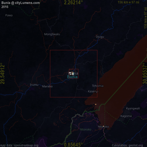
Analysis of Bunia night lights 2016
Square area 10x10 km:
 0%
0%90-99
3.9%80-89
0.43%70-79
0.43%60-69
0.43%50-59
0%40-49
0.87%30-39
3.46%20-29
0.87%10-19
0.22%0-9
89.39%Square area 50x50 km:
0%90-99
0.16%80-89
0.02%70-79
0.02%60-69
0.02%50-59
0%40-49
0.03%30-39
0.14%20-29
0.03%10-19
0.01%0-9
99.58%Clear (daylight) street map image can be seen on geolist.org.
Map coordinates:
2° 15' 43.7" North, 29° 32' 56.8" East
1° 33' 33.9" North, 30° 15' 8.1" East
0° 51' 23.2" North, 30° 57' 19.3" East
Some cities around Bunia sort by population:
• Fort Portal, UG
99.8 km =62 mi,  178°
178°
• Hoima, UG
123.1 km =76.5 mi,  96°
96°
• Paidha, UG
125.4 km =77.9 mi,  40°
40°
• Kyenjojo, UG
110.9 km =68.9 mi,  158°
158°
• Bundibugyo, UG
96.6 km =60 mi,  192°
192°
• Kigorobya, UG
117.6 km =73.1 mi,  86°
86°
• Kibale, UG
123.8 km =76.9 mi,  133°
133°
• Margherita, UG
133 km =82.6 mi,  197°
197°
217695 (p: 96,764)
Sources (retrieved 2019-11-25):
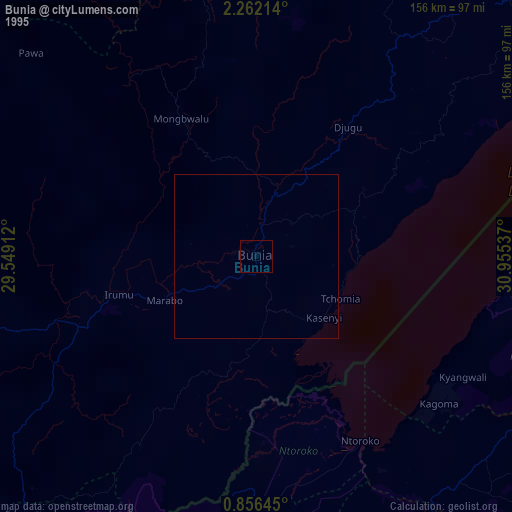
» NASA, Earths city lights 1995
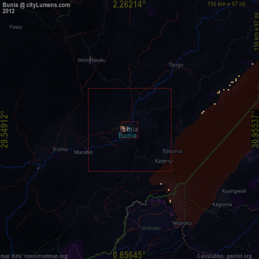
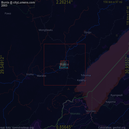
» NASA city lights 2003
» Earth at Night: Flat Maps 2012, 2016