Bundibugyo night lights from space
Night Light of Bundibugyo (Western Region) from space (Uganda) Src. Average luminocity for 10x10km area is 0% and for 50x50km: 0.02%.
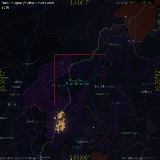
Analysis of Bundibugyo night lights 2016
Square area 10x10 km:
 0%
0%90-99
0%80-89
0%70-79
0%60-69
0%50-59
0%40-49
0%30-39
0%20-29
0%10-19
0%0-9
100%Square area 50x50 km:
0%90-99
0%80-89
0%70-79
0%60-69
0%50-59
0%40-49
0%30-39
0.03%20-29
0.04%10-19
0%0-9
99.93%Clear (daylight) street map image can be seen on geolist.org.
Map coordinates:
1° 24' 51" North, 29° 21' 41.7" East
0° 42' 40.2" North, 30° 3' 52.9" East
0° 0' 29" North, 30° 46' 4.2" East
Some cities around Bundibugyo sort by population:
• Beni, CD
70.2 km =43.6 mi,  249°
249°
• Bunia, CD
96.6 km =60 mi,  12°
12°
• Kasese
58.7 km =36.5 mi,  177°
177°
• Fort Portal
24 km =14.9 mi,  103°
103°
• Kyenjojo
62.5 km =38.8 mi, 98°
• Kamwenge
72.6 km =45.1 mi,  143°
143°
• Kilembe
57.3 km =35.6 mi,  185°
185°
• Margherita
37.8 km =23.5 mi,  210°
210°
234178 (p: 16,919)
Sources (retrieved 2019-11-25):
» Earth at Night: Flat Maps 2012, 2016