Butembo night lights from space
Night Light of Butembo (Nord Kivu) from space (Democratic Republic of the Congo) Src. Average luminocity for 10x10km area is 0.2338% and for 50x50km: 0.0093%.
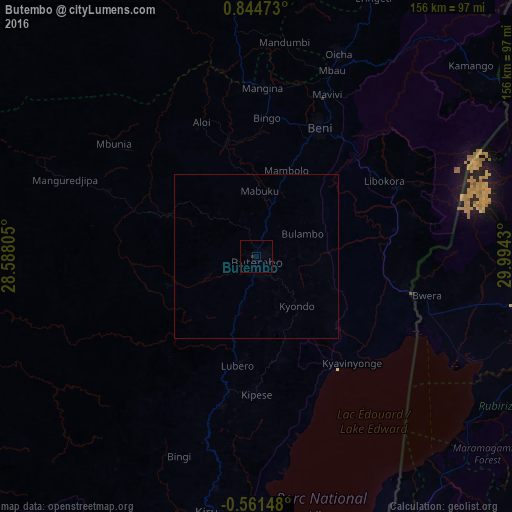
Analysis of Butembo night lights 2016
Square area 10x10 km:
 0%
0%90-99
0%80-89
0%70-79
0%60-69
0%50-59
0%40-49
0%30-39
0%20-29
0.87%10-19
0%0-9
99.13%Square area 50x50 km:
0%90-99
0%80-89
0%70-79
0%60-69
0%50-59
0%40-49
0%30-39
0%20-29
0.03%10-19
0%0-9
99.97%Clear (daylight) street map image can be seen on geolist.org.
Map coordinates:
0° 50' 41" North, 28° 35' 17" East
0° 8' 29.9" North, 29° 17' 28.2" East
0° 33' 41.3" South, 29° 59' 39.5" East
Some cities around Butembo sort by population:
• Beni
43.8 km =27.2 mi,  27°
27°
• Kasese, UG
88.2 km =54.8 mi,  86°
86°
• Fort Portal, UG
123.7 km =76.9 mi,  62°
62°
• Kamwenge, UG
129.4 km =80.4 mi, 87°
• Bundibugyo, UG
106.8 km =66.4 mi,  53°
53°
• Ntungamo, UG
120.7 km =75 mi,  160°
160°
• Kilembe, UG
80.5 km =50 mi, 85°
• Margherita, UG
73.5 km =45.7 mi,  65°
65°
217562 (p: 154,621)
Sources (retrieved 2019-11-25):
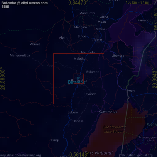
» NASA, Earths city lights 1995
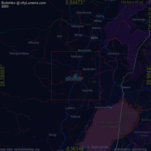
» NASA city lights 2003
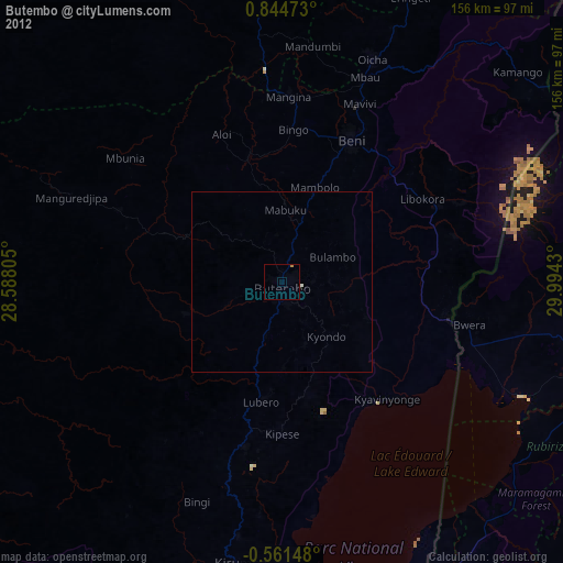
» Earth at Night: Flat Maps 2012, 2016