Watsa night lights from space
Night Light of Watsa (Haut-Uele) from space (Democratic Republic of the Congo) Src. Average luminocity for 10x10km area is 0.3398% and for 50x50km: 0.322%.
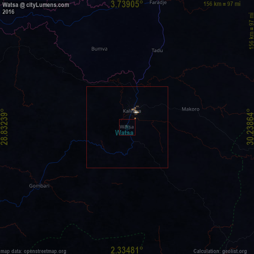
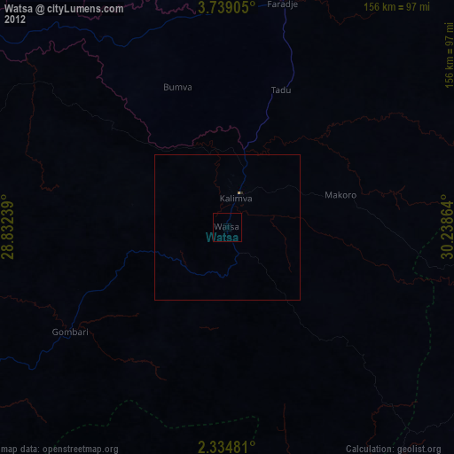
Analysis of Watsa night lights 2016
Square area 10x10 km:
 0%
0%90-99
0%80-89
0%70-79
0%60-69
0%50-59
0%40-49
0%30-39
0%20-29
0.87%10-19
0%0-9
99.13%Square area 50x50 km:
0.03%90-99
0.03%80-89
0%70-79
0%60-69
0.1%50-59
0.07%40-49
0.03%30-39
0.09%20-29
0.19%10-19
0.03%0-9
99.42%Clear (daylight) street map image can be seen on geolist.org.
Map coordinates:
3° 44' 20.6" North, 28° 49' 56.6" East
3° 2' 13.8" North, 29° 32' 7.8" East
2° 20' 5.3" North, 30° 14' 19.1" East
Some cities around Watsa sort by population:
• Bunia
182.6 km =113.5 mi,  154°
154°
• Arua, UG
152.7 km =94.9 mi,  90°
90°
• Yei, SS
172.8 km =107.4 mi,  47°
47°
• Nebbi, UG
183.4 km =114 mi,  109°
109°
• Paidha, UG
175.2 km =108.9 mi, 113°
• Yumbe, UG
195.8 km =121.7 mi,  75°
75°
• Wamba
197.6 km =122.8 mi,  239°
239°
• Maridi, SS
209.1 km =129.9 mi,  357°
357°
204283 (p: 24,516)
Sources (retrieved 2019-11-25):
» Earth at Night: Flat Maps 2012, 2016