Kisangani night lights from space
Night Light of Kisangani (Tshopo) from space (Democratic Republic of the Congo) Src. Average luminocity for 10x10km area is 17.2619% and for 50x50km: 0.7529%.
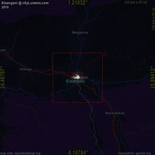
Analysis of Kisangani night lights 2016
Square area 10x10 km:
 3.25%
3.25%90-99
1.95%80-89
2.16%70-79
2.16%60-69
2.6%50-59
1.52%40-49
2.16%30-39
3.03%20-29
2.6%10-19
1.08%0-9
77.49%Square area 50x50 km:
0.13%90-99
0.08%80-89
0.09%70-79
0.09%60-69
0.1%50-59
0.06%40-49
0.1%30-39
0.14%20-29
0.1%10-19
0.04%0-9
99.07%Clear (daylight) street map image can be seen on geolist.org.
Map coordinates:
1° 13' 6" North, 24° 29' 16.3" East
0° 30' 55" North, 25° 11' 27.6" East
0° 11' 16.2" South, 25° 53' 38.8" East
Some cities around Kisangani sort by population:
• Kindu
393.1 km =244.3 mi,  168°
168°
• Isiro
368.4 km =228.9 mi,  47°
47°
• Bumba
355.2 km =220.7 mi,  301°
301°
• Buta
257.6 km =160.1 mi,  348°
348°
• Basoko
192.7 km =119.7 mi,  294°
294°
• Yangambi
88.1 km =54.7 mi, 288°
• Aketi
292.6 km =181.8 mi,  327°
327°
• Wamba
360.7 km =224.1 mi,  59°
59°
212730 (p: 539,158)
Sources (retrieved 2019-11-25):
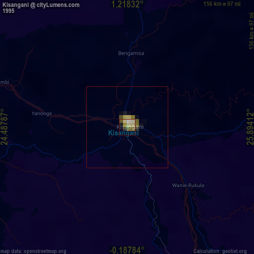
» NASA, Earths city lights 1995
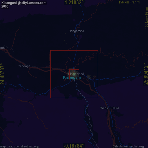
» NASA city lights 2003
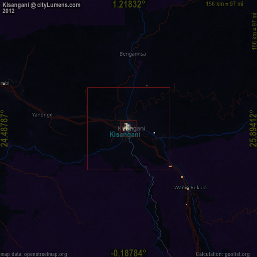
» Earth at Night: Flat Maps 2012, 2016