Buta night lights from space
Night Light of Buta (Bas-Uele) from space (Democratic Republic of the Congo) Src. Average luminocity for 10x10km area is 0% and for 50x50km: 0%.
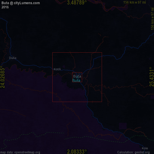

Analysis of Buta night lights 2016
Square area 10x10 km:
 0%
0%90-99
0%80-89
0%70-79
0%60-69
0%50-59
0%40-49
0%30-39
0%20-29
0%10-19
0%0-9
100%Square area 50x50 km:
0%90-99
0%80-89
0%70-79
0%60-69
0%50-59
0%40-49
0%30-39
0%20-29
0%10-19
0%0-9
100%Clear (daylight) street map image can be seen on geolist.org.
Map coordinates:
3° 29' 16.4" North, 24° 1' 36.7" East
2° 47' 9" North, 24° 43' 47.9" East
2° 4' 60" North, 25° 25' 59.2" East
Some cities around Buta sort by population:
• Kisangani
257.6 km =160.1 mi,  168°
168°
• Bumba
259.9 km =161.5 mi,  255°
255°
• Basoko
211.9 km =131.7 mi,  215°
215°
• Yangambi
226.7 km =140.9 mi,  188°
188°
• Aketi
105.3 km =65.4 mi,  267°
267°
• Bangassou, CF
303.7 km =188.7 mi,  315°
315°
• Bondo
162.8 km =101.2 mi,  314°
314°
• Zemio, CF
253.7 km =157.6 mi,  10°
10°
217570 (p: 50,130)
Sources (retrieved 2019-11-25):
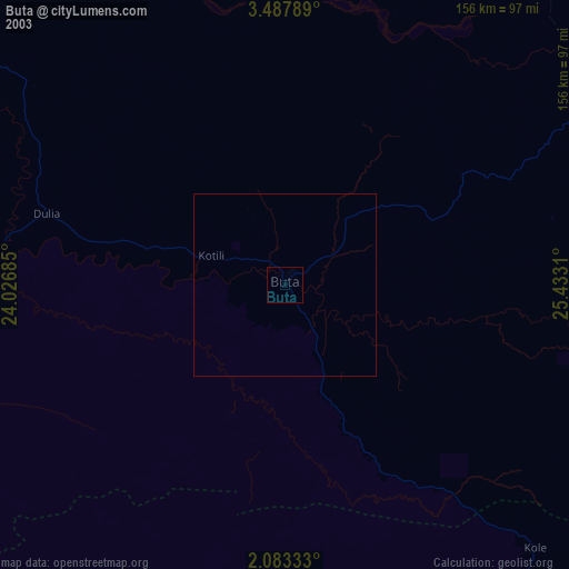
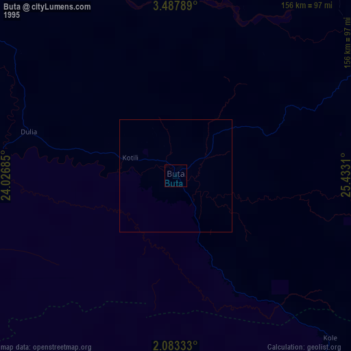
» NASA, Earths city lights 1995
» NASA city lights 2003
» Earth at Night: Flat Maps 2012, 2016