Tambura night lights from space
Night Light of Tambura from space (South Sudan) Src. Average luminocity for 10x10km area is 0% and for 50x50km: 0%.
Analysis of Tambura night lights 2016
Square area 10x10 km:
100  0%
0%
90-99 0%
80-89 0%
70-79 0%
60-69 0%
50-59 0%
40-49 0%
30-39 0%
20-29 0%
10-19 0%
0-9 100%
0%90-99
0%80-89
0%70-79
0%60-69
0%50-59
0%40-49
0%30-39
0%20-29
0%10-19
0%0-9
100%Square area 50x50 km:
100 0%
90-99 0%
80-89 0%
70-79 0%
60-69 0%
50-59 0%
40-49 0%
30-39 0%
20-29 0%
10-19 0%
0-9 100%
0%90-99
0%80-89
0%70-79
0%60-69
0%50-59
0%40-49
0%30-39
0%20-29
0%10-19
0%0-9
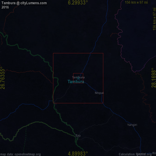
100%Clear (daylight) street map image can be seen on geolist.org.
Map coordinates:
6° 17' 57.6" North, 26° 45' 48.8" East
5° 36' 0" North, 27° 28' 0" East
4° 53' 59.4" North, 28° 10' 11.3" East
Some cities around Tambura sort by population:
• Wau
240.7 km =149.6 mi,  13°
13°
• Yambio
153.8 km =95.6 mi,  138°
138°
• Rumbek
278.8 km =173.2 mi,  61°
61°
• Tonj
229.2 km =142.4 mi,  35°
35°
• Maridi
234.4 km =145.6 mi,  108°
108°
• Zemio, CF
265.6 km =165 mi,  256°
256°
• Obo, CF
110.2 km =68.5 mi, 258°
• Cueibet
252.7 km =157 mi,  51°
51°
366444 (p: 9,483)
Sources (retrieved 2019-11-25):
» Earth at Night: Flat Maps 2012, 2016