Maridi night lights from space
Night Light of Maridi from space (South Sudan) Src. Average luminocity for 10x10km area is 0% and for 50x50km: 0%.
Analysis of Maridi night lights 2016
Square area 10x10 km:
100  0%
0%
90-99 0%
80-89 0%
70-79 0%
60-69 0%
50-59 0%
40-49 0%
30-39 0%
20-29 0%
10-19 0%
0-9 100%
0%90-99
0%80-89
0%70-79
0%60-69
0%50-59
0%40-49
0%30-39
0%20-29
0%10-19
0%0-9
100%Square area 50x50 km:
100 0%
90-99 0%
80-89 0%
70-79 0%
60-69 0%
50-59 0%
40-49 0%
30-39 0%
20-29 0%
10-19 0%
0-9 100%
0%90-99
0%80-89
0%70-79
0%60-69
0%50-59
0%40-49
0%30-39
0%20-29
0%10-19
0%0-9
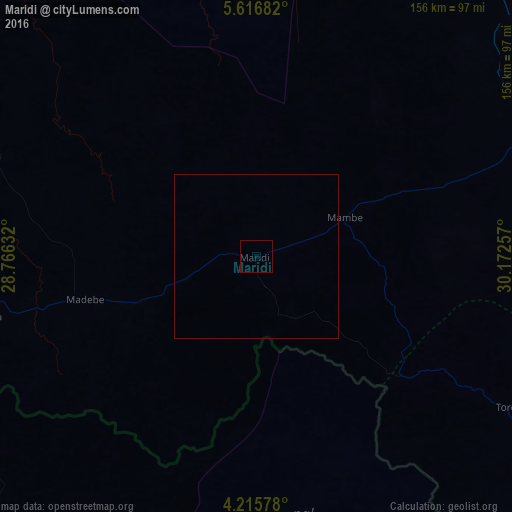
100%Clear (daylight) street map image can be seen on geolist.org.
Map coordinates:
5° 37' 0.6" North, 28° 45' 58.8" East
4° 55' 0" North, 29° 28' 10" East
4° 12' 56.8" North, 30° 10' 21.3" East
Some cities around Maridi sort by population:
• Juba
234.2 km =145.5 mi,  91°
91°
• Yei
162 km =100.7 mi,  124°
124°
• Yambio
125.2 km =77.8 mi,  252°
252°
• Rumbek
211.4 km =131.4 mi,  6°
6°
• Watsa, CD
209.1 km =129.9 mi,  177°
177°
• Tambura
234.4 km =145.6 mi,  288°
288°
• Yirol
214.6 km =133.3 mi,  32°
32°
• Mundri
106.1 km =65.9 mi,  63°
63°
370457 (p: 14,224)
Sources (retrieved 2019-11-25):
» Earth at Night: Flat Maps 2012, 2016