Bondo night lights from space
Night Light of Bondo (Bas-Uele) from space (Democratic Republic of the Congo) Src. Average luminocity for 10x10km area is 0% and for 50x50km: 0%.
Analysis of Bondo night lights 2016
Square area 10x10 km:
 0%
0%90-99
0%80-89
0%70-79
0%60-69
0%50-59
0%40-49
0%30-39
0%20-29
0%10-19
0%0-9
100%Square area 50x50 km:
0%90-99
0%80-89
0%70-79
0%60-69
0%50-59
0%40-49
0%30-39
0%20-29
0%10-19
0%0-9
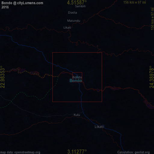
100%Clear (daylight) street map image can be seen on geolist.org.
Map coordinates:
4° 30' 57.1" North, 22° 59' 0.7" East
3° 48' 52.6" North, 23° 41' 11.9" East
3° 6' 46" North, 24° 23' 23.2" East
Some cities around Bondo sort by population:
• Bumba
225.9 km =140.4 mi,  216°
216°
• Buta
162.8 km =101.2 mi,  134°
134°
• Basoko
286.5 km =178 mi,  181°
181°
• Aketi
120.1 km =74.6 mi,  174°
174°
• Bangassou, CF
141 km =87.6 mi,  316°
316°
• Mobaye, CF
283.8 km =176.3 mi,  281°
281°
• Zemio, CF
210.1 km =130.6 mi,  49°
49°
• Kembé, CF
218.9 km =136 mi,  294°
294°
218253 (p: 17,860)
Sources (retrieved 2019-11-25):
» Earth at Night: Flat Maps 2012, 2016