Zemio night lights from space
Night Light of Zemio (Haut-Mbomou) from space (Central African Republic) Src. Average luminocity for 10x10km area is 0% and for 50x50km: 0%.
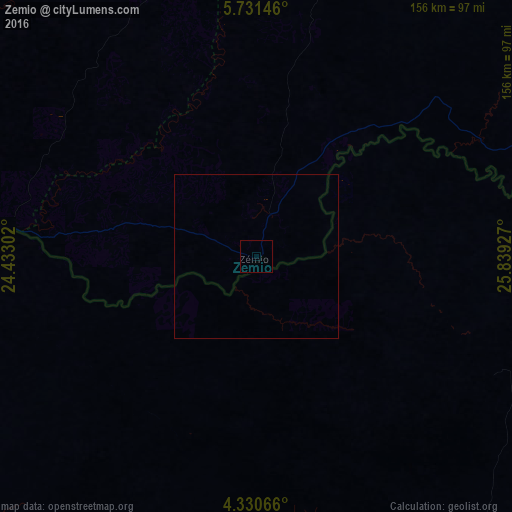
Analysis of Zemio night lights 2016
Square area 10x10 km:
 0%
0%90-99
0%80-89
0%70-79
0%60-69
0%50-59
0%40-49
0%30-39
0%20-29
0%10-19
0%0-9
100%Square area 50x50 km:
0%90-99
0%80-89
0%70-79
0%60-69
0%50-59
0%40-49
0%30-39
0%20-29
0%10-19
0%0-9
100%Clear (daylight) street map image can be seen on geolist.org.
Map coordinates:
5° 43' 53.3" North, 24° 25' 58.9" East
5° 1' 53.2" North, 25° 8' 10.1" East
4° 19' 50.4" North, 25° 50' 21.4" East
Some cities around Zemio sort by population:
• Buta, CD
253.7 km =157.6 mi,  190°
190°
• Yambio, SS
364.6 km =226.6 mi,  98°
98°
• Aketi, CD
295.8 km =183.8 mi,  210°
210°
• Bangassou
258.8 km =160.8 mi,  262°
262°
• Bondo, CD
210.1 km =130.6 mi,  229°
229°
• Obo
155.5 km =96.6 mi,  74°
74°
• Kembé
362.9 km =225.5 mi, 262°
• Tambura, SS
265.6 km =165 mi,  76°
76°
235826 (p: 14,000)
Sources (retrieved 2019-11-25):
» Earth at Night: Flat Maps 2012, 2016