Boende night lights from space
Night Light of Boende (Tshuapa) from space (Democratic Republic of the Congo) Src. Average luminocity for 10x10km area is 0% and for 50x50km: 0%.

Analysis of Boende night lights 2016
Square area 10x10 km:
 0%
0%90-99
0%80-89
0%70-79
0%60-69
0%50-59
0%40-49
0%30-39
0%20-29
0%10-19
0%0-9
100%Square area 50x50 km:
0%90-99
0%80-89
0%70-79
0%60-69
0%50-59
0%40-49
0%30-39
0%20-29
0%10-19
0%0-9
100%Clear (daylight) street map image can be seen on geolist.org.
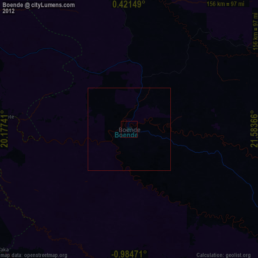
Map coordinates:
0° 25' 17.4" North, 20° 10' 38.7" East
0° 16' 53.9" South, 20° 52' 49.9" East
0° 59' 5" South, 21° 35' 1.2" East
Some cities around Boende sort by population:
• Mbandaka
293.6 km =182.4 mi,  277°
277°
• Gemena
412.2 km =256.1 mi,  342°
342°
• Bumba
326.4 km =202.8 mi,  32°
32°
• Lisala
279.6 km =173.7 mi,  14°
14°
• Basoko
348 km =216.2 mi,  60°
60°
• Inongo
341.4 km =212.1 mi,  237°
237°
• Businga
402.5 km =250.1 mi,  0°
0°
• Impfondo, CG
378.1 km =234.9 mi,  303°
303°
218680 (p: 32,091)
Sources (retrieved 2019-11-25):
» Earth at Night: Flat Maps 2012, 2016