Vernon night lights from space
Night Light of Vernon (British Columbia) from space (Canada) Src. Average luminocity for 10x10km area is 33.3824% and for 50x50km: 2.123%.
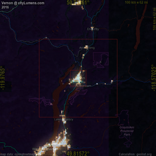
Analysis of Vernon night lights 2016
Square area 10x10 km:
 7.22%
7.22%90-99
6.42%80-89
1.34%70-79
3.61%60-69
4.81%50-59
5.08%40-49
1.74%30-39
5.21%20-29
6.02%10-19
36.76%0-9
21.79%Square area 50x50 km:
0.32%90-99
0.33%80-89
0.14%70-79
0.15%60-69
0.33%50-59
0.36%40-49
0.25%30-39
0.29%20-29
0.41%10-19
1.96%0-9
95.47%Clear (daylight) street map image can be seen on geolist.org.
Map coordinates:
50° 42' 52.6" North, 119° 58' 35.4" West
50° 16' 2.2" North, 119° 16' 24.1" West
49° 48' 56.6" North, 118° 34' 12.9" West
Some cities around Vernon sort by population:
• Okanagan
12 km =7.5 mi,  333°
333°
• Kelowna
45.3 km =28.1 mi,  199°
199°
• Kamloops
86.3 km =53.6 mi,  300°
300°
• Penticton
90.3 km =56.1 mi,  194°
194°
• West Kelowna
50.2 km =31.2 mi,  206°
206°
• Salmon Arm
48.1 km =29.9 mi,  357°
357°
• Duck Lake
30.1 km =18.7 mi, 197°
• Summerland
79.4 km =49.3 mi, 200°
6173864 (p: 47,274)
Sources (retrieved 2019-11-25):
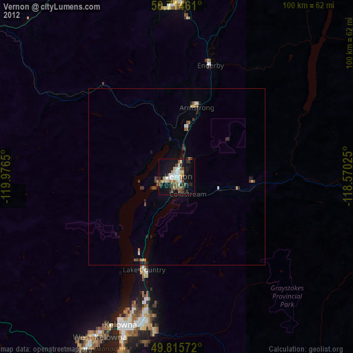
» Earth at Night: Flat Maps 2012, 2016