Duck Lake night lights from space
Night Light of Duck Lake (British Columbia) from space (Canada) Src. Average luminocity for 10x10km area is 13.7297% and for 50x50km: 7.1843%.
Analysis of Duck Lake night lights 2016
Square area 10x10 km:
 1.26%
1.26%90-99
2.1%80-89
0.7%70-79
1.12%60-69
1.12%50-59
1.26%40-49
2.1%30-39
1.12%20-29
3.92%10-19
21.01%0-9
64.29%Square area 50x50 km:
1.29%90-99
1.27%80-89
0.62%70-79
0.7%60-69
0.73%50-59
0.83%40-49
0.98%30-39
1.09%20-29
2.54%10-19
5.57%0-9
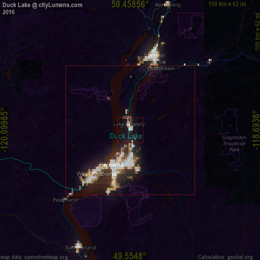
84.37%Clear (daylight) street map image can be seen on geolist.org.
Map coordinates:
50° 27' 30.8" North, 120° 5' 59.5" West
50° 0' 31.7" North, 119° 23' 48.2" West
49° 33' 17.3" North, 118° 41' 37" West
Some cities around Duck Lake sort by population:
• Okanagan
39.6 km =24.6 mi,  4°
4°
• Kelowna
15.4 km =9.6 mi,  204°
204°
• Vernon
30.1 km =18.7 mi,  17°
17°
• Penticton
60.3 km =37.5 mi,  193°
193°
• West Kelowna
21 km =13 mi,  219°
219°
• Salmon Arm
77.1 km =47.9 mi, 4°
• Summerland
49.5 km =30.8 mi, 203°
• Oliver
92.5 km =57.5 mi, 186°
12070755 (p: 6,982)
Sources (retrieved 2019-11-25):
» Earth at Night: Flat Maps 2012, 2016