Kelowna night lights from space
Night Light of Kelowna (British Columbia) from space (Canada) Src. Average luminocity for 10x10km area is 57.3459% and for 50x50km: 7.166%.
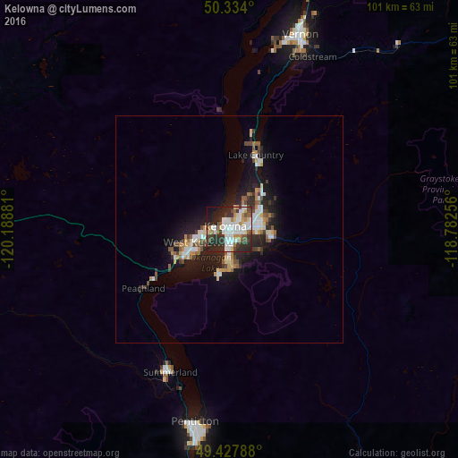
Analysis of Kelowna night lights 2016
Square area 10x10 km:
 16.39%
90-99
14.57%80-89
5.18%70-79
4.06%60-69
4.2%50-59
4.2%40-49
8.4%30-39
11.34%20-29
21.57%10-19
9.1%0-9
0.98%Square area 50x50 km:
1.3%90-99
1.27%80-89
0.63%70-79
0.71%60-69
0.73%50-59
0.81%40-49
1.02%30-39
1.07%20-29
2.53%10-19
5.23%0-9
84.69%Clear (daylight) street map image can be seen on geolist.org.
Map coordinates:
50° 20' 2.4" North, 120° 11' 19.7" West
49° 52' 59.1" North, 119° 29' 8.4" West
49° 25' 40.4" North, 118° 46' 57.2" West
Some cities around Kelowna sort by population:
• Okanagan
54.3 km =33.7 mi,  10°
10°
• Vernon
45.3 km =28.1 mi,  19°
19°
• Penticton
45.3 km =28.1 mi,  189°
189°
• West Kelowna
7.4 km =4.6 mi,  251°
251°
• Salmon Arm
91.7 km =57 mi, 8°
• Duck Lake
15.4 km =9.6 mi, 24°
• Summerland
34.1 km =21.2 mi,  202°
202°
• Oliver
78 km =48.5 mi,  183°
183°
5990579 (p: 125,109)
Sources (retrieved 2019-11-25):
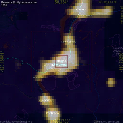
» NASA, Earths city lights 1995
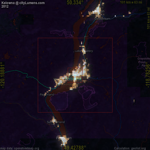
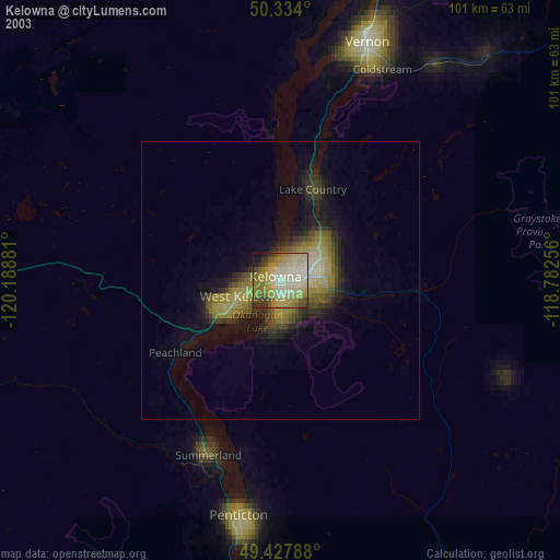
» NASA city lights 2003
» Earth at Night: Flat Maps 2012, 2016