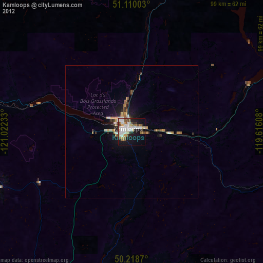
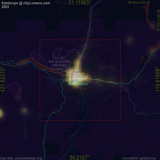
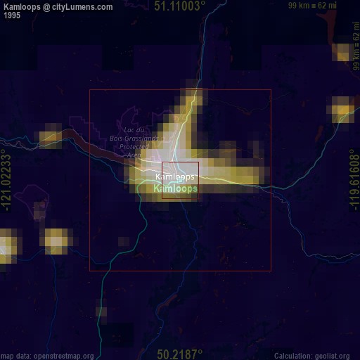
Kamloops night lights from space
Night Light of Kamloops (British Columbia) from space (Canada) Src. Average luminocity for 10x10km area is 46.5869% and for 50x50km: 3.7902%.

Analysis of Kamloops night lights 2016
Square area 10x10 km:
 13.64%
90-99
13.9%80-89
2.27%70-79
3.48%60-69
2.27%50-59
2.67%40-49
6.15%30-39
5.61%20-29
12.83%10-19
24.33%0-9
12.83%Square area 50x50 km:
0.71%90-99
0.72%80-89
0.2%70-79
0.44%60-69
0.34%50-59
0.32%40-49
0.64%30-39
0.58%20-29
1.18%10-19
2.95%0-9
91.92%Clear (daylight) street map image can be seen on geolist.org.
Map coordinates:
51° 6' 36.1" North, 121° 1' 20.4" West
50° 39' 59.3" North, 120° 19' 9.1" West
50° 13' 7.3" North, 119° 36' 57.9" West
Some cities around Kamloops sort by population:
• Okanagan
76.3 km =47.4 mi,  116°
116°
• Kelowna
105.3 km =65.4 mi,  145°
145°
• Vernon
86.3 km =53.6 mi, 120°
• West Kelowna
103.6 km =64.4 mi, 149°
• Salmon Arm
71.7 km =44.6 mi,  87°
87°
• Merritt
70.2 km =43.6 mi,  208°
208°
• Duck Lake
98.1 km =61 mi,  138°
138°
• Summerland
127.3 km =79.1 mi,  158°
158°
5989045 (p: 68,714)
Sources (retrieved 2019-11-25):
» NASA, Earths city lights 1995
» NASA city lights 2003
» Earth at Night: Flat Maps 2012, 2016