Penticton night lights from space
Night Light of Penticton (British Columbia) from space (Canada) Src. Average luminocity for 10x10km area is 29.0126% and for 50x50km: 1.7169%.
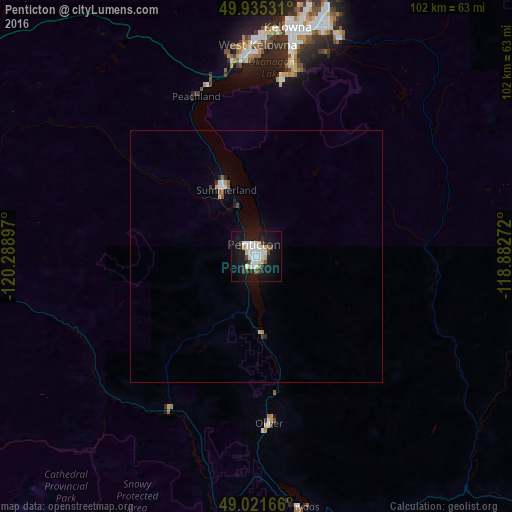
Analysis of Penticton night lights 2016
Square area 10x10 km:
 7.98%
7.98%90-99
6.72%80-89
2.52%70-79
2.38%60-69
0.56%50-59
1.26%40-49
2.66%30-39
2.66%20-29
4.2%10-19
32.49%0-9
36.55%Square area 50x50 km:
0.38%90-99
0.32%80-89
0.1%70-79
0.18%60-69
0.07%50-59
0.17%40-49
0.13%30-39
0.17%20-29
0.26%10-19
1.55%0-9
96.66%Clear (daylight) street map image can be seen on geolist.org.
Map coordinates:
49° 56' 7.1" North, 120° 17' 20.3" West
49° 28' 50.2" North, 119° 35' 9" West
49° 1' 18" North, 118° 52' 57.8" West
Some cities around Penticton sort by population:
• Okanagan
99.6 km =61.9 mi,  9°
9°
• Kelowna
45.3 km =28.1 mi, 9°
• Vernon
90.3 km =56.1 mi, 14°
• West Kelowna
42.5 km =26.4 mi,  0°
0°
• Merritt
111.6 km =69.3 mi,  309°
309°
• Duck Lake
60.3 km =37.5 mi, 13°
• Summerland
14.5 km =9 mi,  335°
335°
• Oliver
33.2 km =20.6 mi,  175°
175°
6101141 (p: 37,721)
Sources (retrieved 2019-11-25):
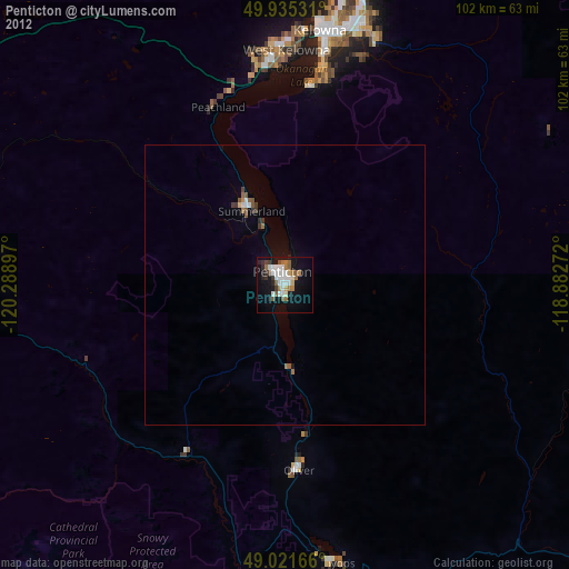
» Earth at Night: Flat Maps 2012, 2016