Vernon night lights from space
Night Light of Vernon (British Columbia) from space (Canada) Src. Average luminocity for 10x10km area is 0% and for 50x50km: 0%.
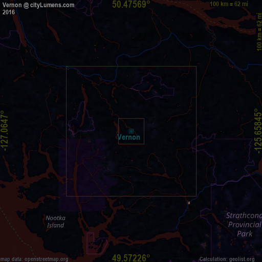
Analysis of Vernon night lights 2016
Square area 10x10 km:
 0%
0%90-99
0%80-89
0%70-79
0%60-69
0%50-59
0%40-49
0%30-39
0%20-29
0%10-19
0%0-9
100%Square area 50x50 km:
0%90-99
0%80-89
0%70-79
0%60-69
0%50-59
0%40-49
0%30-39
0%20-29
0%10-19
0%0-9
100%Clear (daylight) street map image can be seen on geolist.org.
Map coordinates:
50° 28' 32.5" North, 127° 3' 52.9" West
50° 1' 34" North, 126° 21' 41.7" West
49° 34' 20.1" North, 125° 39' 30.4" West
Some cities around Vernon sort by population:
• Nanaimo
199 km =123.7 mi,  118°
118°
• Campbell River
79.8 km =49.6 mi,  90°
90°
• Courtenay
105.1 km =65.3 mi,  111°
111°
• Port Alberni
142.2 km =88.4 mi,  127°
127°
• Powell River
133.3 km =82.8 mi,  99°
99°
• Parksville
166.9 km =103.7 mi, 118°
• Sechelt
196.7 km =122.2 mi, 108°
• Ladysmith
216.8 km =134.7 mi, 122°
6173865 (p: 48,073)
Sources (retrieved 2019-11-25):
» Earth at Night: Flat Maps 2012, 2016