Courtenay night lights from space
Night Light of Courtenay (British Columbia) from space (Canada) Src. Average luminocity for 10x10km area is 22.3142% and for 50x50km: 1.38%.
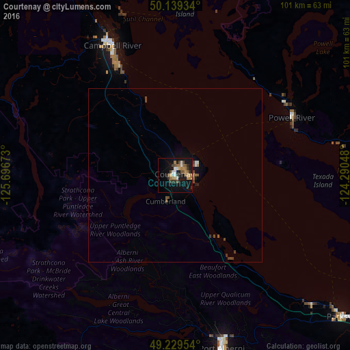
Analysis of Courtenay night lights 2016
Square area 10x10 km:
 2.41%
2.41%90-99
2.41%80-89
1.2%70-79
3.07%60-69
6.42%50-59
2.81%40-49
3.07%30-39
2.54%20-29
4.01%10-19
26.07%0-9
45.99%Square area 50x50 km:
0.12%90-99
0.14%80-89
0.05%70-79
0.13%60-69
0.33%50-59
0.23%40-49
0.33%30-39
0.23%20-29
0.2%10-19
1.22%0-9
97.02%Clear (daylight) street map image can be seen on geolist.org.
Map coordinates:
50° 8' 21.6" North, 125° 41' 48.2" West
49° 41' 11.7" North, 124° 59' 37" West
49° 13' 46.3" North, 124° 17' 25.7" West
Some cities around Courtenay sort by population:
• Nanaimo
95.7 km =59.5 mi,  127°
127°
• Vernon
105.1 km =65.3 mi,  291°
291°
• Campbell River
40.8 km =25.4 mi,  333°
333°
• Port Alberni
51.4 km =31.9 mi,  164°
164°
• Powell River
37.5 km =23.3 mi,  64°
64°
• Parksville
63.7 km =39.6 mi, 129°
• Sechelt
92.1 km =57.2 mi,  104°
104°
• Gibsons
112.1 km =69.7 mi,  106°
106°
5930890 (p: 32,793)
Sources (retrieved 2019-11-25):
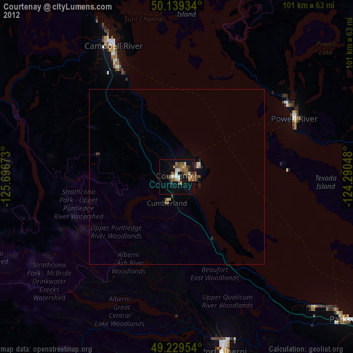
» Earth at Night: Flat Maps 2012, 2016